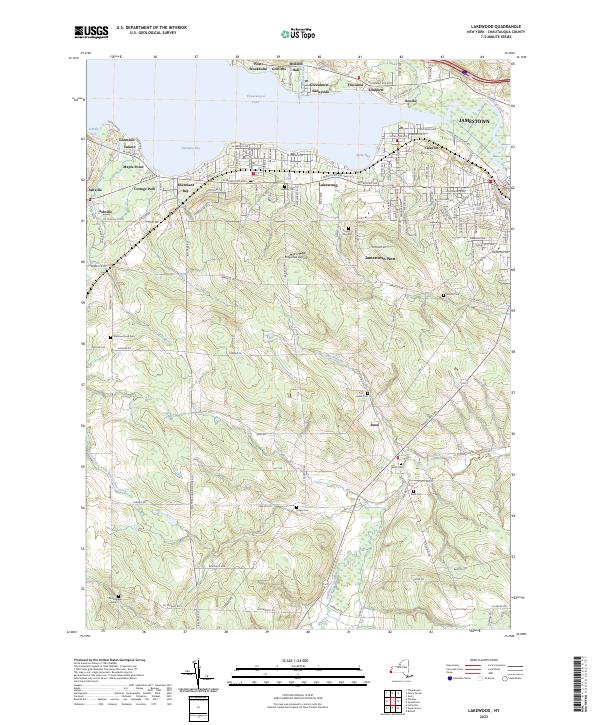
2023 Map of Lakewood
USGS Topo · Published 2023About this map
Chautauqua Lake dominates the northern horizon of this 2023 survey, its southern shore lined with a dense corridor of settlements including Lakewood, Celoron, and Cottage Park. This area reflects the modern evolution of the Chautauqua shoreline, where the historic Chadakoin River outlet and Burtis Bay have long supported regional commerce and recreation. Inland, the terrain rises toward the community of Busti, revealing a landscape where family-named landmarks and historical burial sites are still preserved. Researchers can find numerous small cemeteries scattered across the higher ground, such as Wellman Road Cem, Hatch Cem, and Knapp Cem, providing vital geographic anchors for local genealogical work. The presence of Ridgeview Airport and the sprawling residential networks of Jamestown West highlight the area's growth beyond the urban center of Jamestown, showing how these once-distinct hamlets and farmsteads have integrated into a modern suburban fabric.
Find a feature on this map
141 named features on this map. Tap any name to fly to it.
Don’t see what you’re looking for? This feature index may not catch every label — zoom into the map to look around manually.
Map Details
Editions of this 2023 Lakewood Map
This is the sole edition of this map. No revisions or reprints were ever made.
Other maps of this area

1904 · Chautaqua
USGS Topo · 1:62,500

1905 · Jamestown
USGS Topo · 1:62,500

1906 · Warren
USGS Topo · 1:62,500

1907 · Warren
USGS Topo · 1:62,500

1908 · Warren
USGS Topo · 1:62,500

1926 · Youngsville
USGS Topo · 1:62,500

1929 · Youngsville
USGS Topo · 1:62,500

1941 · Chautauqua
USGS Topo · 1:62,500

1942 · Jamestown
USGS Topo · 1:62,500

1943 · Youngsville
USGS Topo · 1:62,500