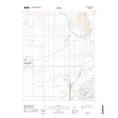
2018 Map of Lanes Bridge
USGS Topo · Published 2018About this map
The San Joaquin River forms the southern boundary of this landscape, separating the developing suburban fringes of Fresno from the rural expanses of Madera County. To the north, the planned residential communities of Madera Ranchos and Bonadelle Ranchos- Madera Ranchos occupy a grid of named streets like Bella Vista Dr and Myrtlewood Dr. This area illustrates the late 20th-century transition from agricultural use toward residential estates.
Find a feature on this map
89 named features on this map. Tap any name to fly to it.
Don’t see what you’re looking for? This feature index may not catch every label — zoom into the map to look around manually.
Map Details
Editions of this 2018 Lanes Bridge Map
This is the sole edition of this map. No revisions or reprints were ever made.
Other maps of this area

1912 · Mariposa
USGS Topo · 1:125,000

1916 · Sulphur Springs
USGS Topo · 1:24,000

1919 · Sulphur Springs
USGS Topo · 1:31,680

1919 · Little Table Mountain
USGS Topo · 1:31,680

1921 · Daulton
USGS Topo · 1:31,680

1921 · Bullard
USGS Topo · 1:31,680

1922 · Lanes Bridge
USGS Topo · 1:31,680

1922 · Friant
USGS Topo · 1:31,680

1922 · Gregg
USGS Topo · 1:31,680

1923 · Herndon
USGS Topo · 1:31,680