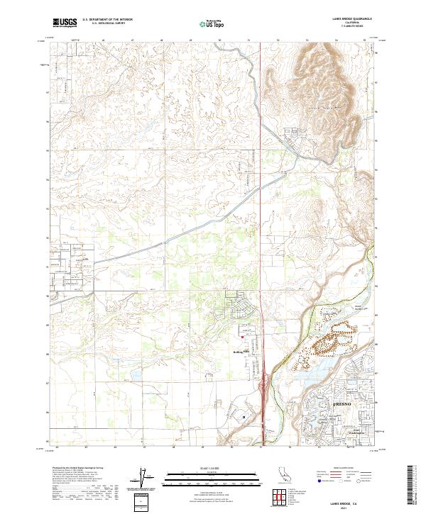
2021 Map of Lanes Bridge
USGS Topo · Published 2021About this map
Fresno expands northward toward the San Joaquin River in this modern topographic survey, which highlights the intersection of agricultural infrastructure and residential development. The Madera Canal cuts through the northern landscape near Little Table Mtn, marking the transition between the valley floor and the rising foothills. This area serves as a critical boundary between Madera and Fresno Counties, where the river's path creates unique geographical features like Cobbs Island and Island Number One.
Find a feature on this map
82 named features on this map. Tap any name to fly to it.
Don’t see what you’re looking for? This feature index may not catch every label — zoom into the map to look around manually.
Map Details
Editions of this 2021 Lanes Bridge Map
This is the sole edition of this map. No revisions or reprints were ever made.
Other maps of this area

1912 · Mariposa
USGS Topo · 1:125,000

1916 · Sulphur Springs
USGS Topo · 1:24,000

1919 · Sulphur Springs
USGS Topo · 1:31,680

1919 · Little Table Mountain
USGS Topo · 1:31,680

1921 · Daulton
USGS Topo · 1:31,680

1921 · Bullard
USGS Topo · 1:31,680

1922 · Lanes Bridge
USGS Topo · 1:31,680

1922 · Friant
USGS Topo · 1:31,680

1922 · Gregg
USGS Topo · 1:31,680

1923 · Herndon
USGS Topo · 1:31,680