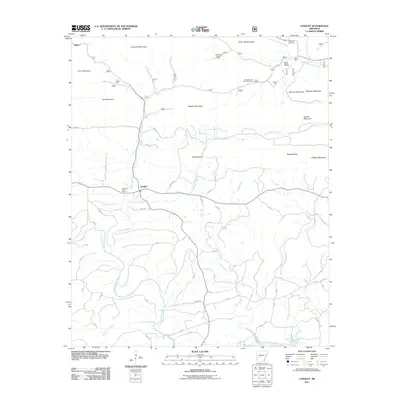
2011 Map of Langley
USGS Topo · Published 2011About this map
Langley sits at the intersection of local mountain routes and creek drainages in this 2011 survey of western Arkansas. The settlement is anchored by the Langley Post Office, while the surrounding terrain is defined by the Cossatot Mountains and peaks like Pryor Mountain and Fancy Hill Mountain. The landscape reveals a history of resource extraction, with the McKnight Barite Mine and Dempsey Cog Bur Barite Mine located along the northern ridges.
Find a feature on this map
37 named features on this map. Tap any name to fly to it.
Don’t see what you’re looking for? This feature index may not catch every label — zoom into the map to look around manually.
Map Details
Editions of this 2011 Langley Map
This is the sole edition of this map. No revisions or reprints were ever made.
Other maps of this area

1906 · Caddo Gap
USGS Topo · 1:125,000

1936 · Athens
USGS Topo · 1:48,000

1936 · Glenwood
USGS Topo · 1:48,000

1942 · Glenwood
USGS Topo · 1:62,500

1942 · Athens
USGS Topo · 1:62,500

1949 · Glenwood
USGS Topo · 1:62,500

1955 · Little Rock
USGS Topo · 1:250,000

1956 · Little Rock
USGS Topo · 1:250,000

1960 · Little Rock
USGS Topo · 1:250,000

1964 · Little Rock
USGS Topo · 1:250,000