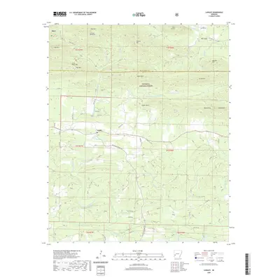
2020 Map of Langley
USGS Topo · Published 2020About this map
Langley sits at the heart of this landscape where the Little Missouri River meets Little Blocker Cr, surrounded by the protected reaches of the Ouachita National Forest. The map documents a rugged section of the Cossatot Mountains, with numerous peaks like Fancy Hill Mtn and Pryor Mtn defining the northern terrain. A legacy of timber and rural transport is evident in the network of forest roads and historical thoroughfares such as Old Black Springs Rd and Old Tram Rd. Small community landmarks like Fancy Hill Cem and the settlement of Albert provide essential points of reference for genealogists. The topography is further shaped by the S Fork Caddo River in the northeast and the deep descent of Redland Gap, illustrating the complex drainage patterns and elevation changes of western Arkansas.
Find a feature on this map
62 named features on this map. Tap any name to fly to it.
Don’t see what you’re looking for? This feature index may not catch every label — zoom into the map to look around manually.
Map Details
Editions of this 2020 Langley Map
This is the sole edition of this map. No revisions or reprints were ever made.
Other maps of this area

1906 · Caddo Gap
USGS Topo · 1:125,000

1936 · Athens
USGS Topo · 1:48,000

1936 · Glenwood
USGS Topo · 1:48,000

1942 · Glenwood
USGS Topo · 1:62,500

1942 · Athens
USGS Topo · 1:62,500

1949 · Glenwood
USGS Topo · 1:62,500

1955 · Little Rock
USGS Topo · 1:250,000

1956 · Little Rock
USGS Topo · 1:250,000

1960 · Little Rock
USGS Topo · 1:250,000

1964 · Little Rock
USGS Topo · 1:250,000