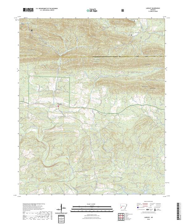
2024 Map of Langley
USGS Topo · Published 2024About this map
The Little Missouri River carves through the southern reaches of the Cossatot Mountains, defining a landscape of high ridges and narrow valleys along the border of Montgomery and Pike counties. The small settlement of Langley serves as a local hub, situated where the Old Black Springs Road meets the river's drainage system. To the north, the terrain rises sharply into the Ouachita National Forest, where peaks like Pryor Mtn and Bluff Mtn overlook the timbered slopes. This modern survey illustrates the persistent rural character of the region, where family and community landmarks like Fancy Hill Cem and Waggoner Cem remain central to the geography of Back Valley and Fancy Hill. The network of forest roads and trails, including the Old Tram Rd, suggests a legacy of local transit and land use that continues to shape these mountain communities today.
Find a feature on this map
67 named features on this map. Tap any name to fly to it.
Don’t see what you’re looking for? This feature index may not catch every label — zoom into the map to look around manually.
Map Details
Editions of this 2024 Langley Map
This is the sole edition of this map. No revisions or reprints were ever made.
Other maps of this area

1906 · Caddo Gap
USGS Topo · 1:125,000

1936 · Athens
USGS Topo · 1:48,000

1936 · Glenwood
USGS Topo · 1:48,000

1942 · Glenwood
USGS Topo · 1:62,500

1942 · Athens
USGS Topo · 1:62,500

1949 · Glenwood
USGS Topo · 1:62,500

1955 · Little Rock
USGS Topo · 1:250,000

1956 · Little Rock
USGS Topo · 1:250,000

1960 · Little Rock
USGS Topo · 1:250,000

1964 · Little Rock
USGS Topo · 1:250,000