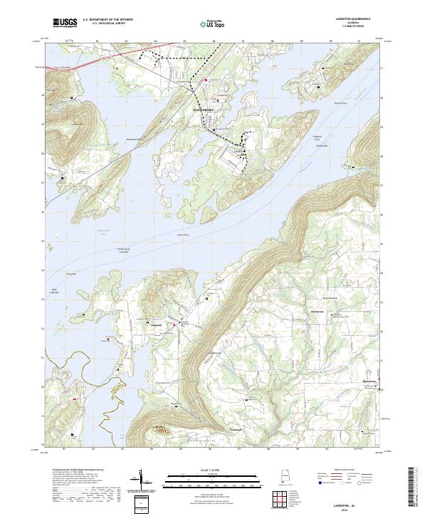
2024 Map of Langston
USGS Topo · Published 2024About this map
Guntersville Lake and the Tennessee River dominate the northern landscape of this Jackson County survey, where the water defines the geography of the surrounding ridges and coves. The town of Langston sits on the western edge of Sand Mountain, serving as a central point for a network of rural settlements like Davistown, Macedonia, and Crossroad. The map reveals a complex riverine environment marked by features such as Goose Pond Island and numerous sandbars, including Caldwell Bar and Mink Creek Bar.
Find a feature on this map
94 named features on this map. Tap any name to fly to it.
Don’t see what you’re looking for? This feature index may not catch every label — zoom into the map to look around manually.
Map Details
Editions of this 2024 Langston Map
This is the sole edition of this map. No revisions or reprints were ever made.
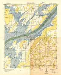
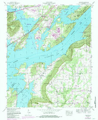
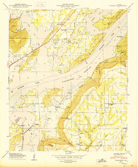
Historical Maps of Macedonia Through Time
4 maps found