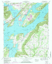
1947 Map of Langston
USGS Topo · Published 1985About this map
Lake Guntersville dominates the landscape following the mid-century impoundment of the Tennessee River, creating a complex shoreline of inlets and points where the Jackson and Marshall county lines meet. The town of Langston sits on elevated ground south of the lake, surrounded by a dense concentration of family and community burial grounds including the Langston Cem, Roman Cem, and Nicholson Cem. The rugged geography of Backbone Ridge and Gunters Mountain frames the western waters, while the northern boundary reaches the edge of Scottsboro.
Find a feature on this map
56 named features on this map. Tap any name to fly to it.
Don’t see what you’re looking for? This feature index may not catch every label — zoom into the map to look around manually.
Map Details
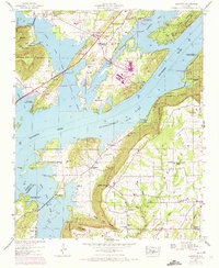
Editions of this 1947 Langston Map
2 editions found
Other maps of this area

1885 · Gadsden
USGS Topo · 1:125,000

1886 · Stevenson
USGS Topo · 1:125,000

1888 · Gadsden
USGS Topo · 1:125,000

1888 · Scottsboro
USGS Topo · 1:125,000

1892 · Scottsboro
USGS Topo · 1:125,000

1892 · Stevenson
USGS Topo · 1:125,000

1892 · Gadsden
USGS Topo · 1:125,000

1893 · Fort Payne
USGS Topo · 1:125,000

1895 · Stevenson
USGS Topo · 1:125,000

1895 · Gadsden
USGS Topo · 1:125,000