2023 Map of Lansdowne
USGS Topo · Published 2023About this map
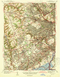
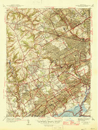
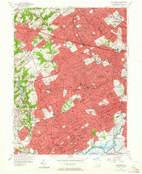
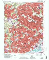
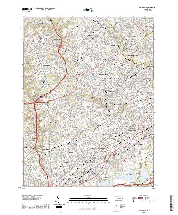
Densely developed suburban landscapes west of Philadelphia define this area, where early Quaker roots meet modern residential expansion. The map is a dense corridor of 19th and 20th-century history, anchoring the region with the Saint Charles Borromeo Seminary and the storied grounds of Swarthmore College. The preservation of open space is often found in the many religious and commemorative sites, from the ancient Old Haverford Friends Meeting House and Darby-Friends Burial Ground to modern memorial gardens. Residential clusters like Lansdowne, Yeadon, and Broomall are woven together by a complex network of Septa rail lines and historic creeks including Darby Creek and Cobbs Creek. This topography illustrates the transition from a network of discrete mill villages to the continuous suburban fabric of the present day.
Find a feature on this map
112 named features on this map. Tap any name to fly to it.
Don’t see what you’re looking for? This feature index may not catch every label — zoom into the map to look around manually.
Map Details
Editions of this 2023 Lansdowne Map
This is the sole edition of this map. No revisions or reprints were ever made.
Historical Maps of Adele Through Time
5 maps found