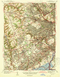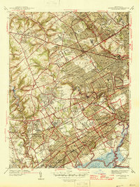
1946 Map of Lansdowne
USGS Topo · Published 1946About this map
Darby Creek and Cobbs Creek carve through this densely settled landscape west of Philadelphia, documenting the suburban expansion of Delaware County just after World War II. The map reveals a transition from the established borough of Lansdowne and the bustling corridors of Upper Darby to the planned residential developments of Westgate Hills and Brookthorp Hills. The influence of the region's rail infrastructure is evident in the numerous stops along the Pennsylvania Railroad, including Glenolden Sta and Moore Sta, which anchored the growth of these communities. Large institutional tracts define much of the open space, from the campus of Swarthmore College to an extensive concentration of burial grounds such as Arlington Cemetery and Fernwood Cemetery. The map also captures the recreational culture of the era, noting numerous private grounds like the Aronimink Golf Club and Rolling Green Golf Club.
Find a feature on this map
134 named features on this map. Tap any name to fly to it.
Don’t see what you’re looking for? This feature index may not catch every label — zoom into the map to look around manually.
Map Details
Editions of this 1946 Lansdowne Map
2 editions found
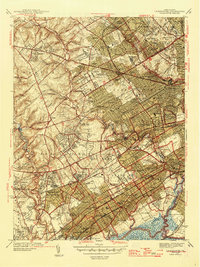
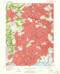
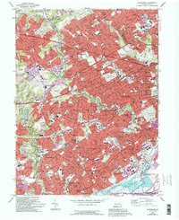
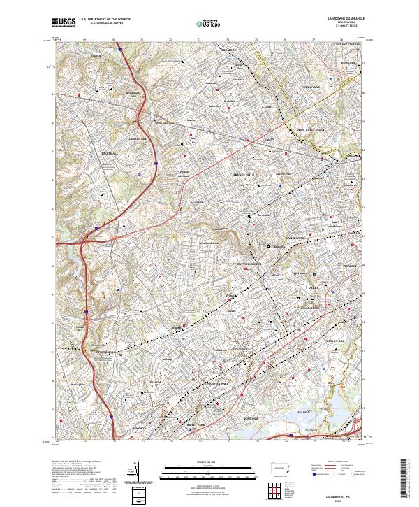
Historical Maps of Philadelphia Through Time
5 maps found