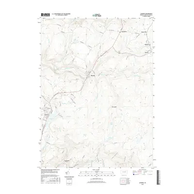
2016 Map of Laporte
USGS Topo · Published 2016About this map
Laporte and the surrounding high country of Sullivan County are defined by a network of steep runs and extensive marshlands. Significant water bodies such as Mokoma Lake, Glass Creek Pond, and Lopez Pond sit among the higher elevations, while the landscape is carved by Loyalsock Creek and its many tributaries, including Muncy Creek and Birch Cr. The map shows a clear distinction between the clustered residential areas of Mildred and Bernice in the northeast and the more dispersed hamlets like Satterfield and Thorndale.
Find a feature on this map
96 named features on this map. Tap any name to fly to it.
Don’t see what you’re looking for? This feature index may not catch every label — zoom into the map to look around manually.
Map Details
Editions of this 2016 Laporte Map
This is the sole edition of this map. No revisions or reprints were ever made.
Other maps of this area

1927 · Eagles Mere
USGS Topo · 1:48,000

1932 · Eagle Mere
USGS Topo · 1:62,500

1934 · Laporte
USGS Topo · 1:62,500

1943 · Monroeton
USGS Topo · 1:62,500

1943 · Powell
USGS Topo · 1:62,500

1945 · Powell
USGS Topo · 1:62,500

1953 · LaPorte
USGS Topo · 1:62,500

1953 · Eagles Mere
USGS Topo · 1:62,500

1954 · Williamsport
USGS Topo · 1:250,000

1960 · Williamsport
USGS Topo · 1:250,000