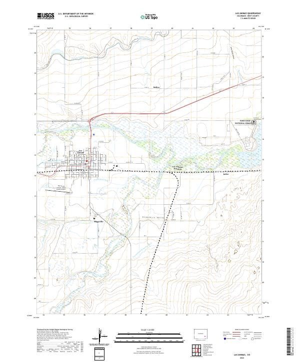
2022 Map of Las Animas
USGS Topo · Published 2022About this map
The Arkansas River and Purgatoire River converge in this high-plains landscape, defining the development of Las Animas. This confluence created the historic site of Boggsville, a critical trade and agricultural hub along the Santa Fe Trail. The complex network of irrigation infrastructure, including the Fort Lyon Canal, Consolidated Ditch, and Highland Canal, illustrates the intensive water management required to support the local ranching economy. Settlement patterns follow these lifelines, with clusters of family-held properties such as McIntosh Ranch and Bishop Ranch scattered across the Picketwire Valley. Institutional history is anchored by the Bent County Courthouse and the Fort Lyon National Cem, the latter marking a long military and veterans' healthcare presence in the region. The proximity of the John Martin Reservoir further emphasizes the modern transformation of this riverine environment into a managed hydraulic system.
Find a feature on this map
97 named features on this map. Tap any name to fly to it.
Don’t see what you’re looking for? This feature index may not catch every label — zoom into the map to look around manually.
Map Details
Editions of this 2022 Las Animas Map
This is the sole edition of this map. No revisions or reprints were ever made.
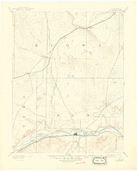
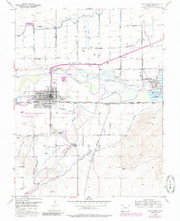
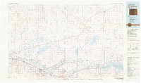
Historical Maps of Melina Through Time
5 maps found