Loading...
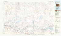
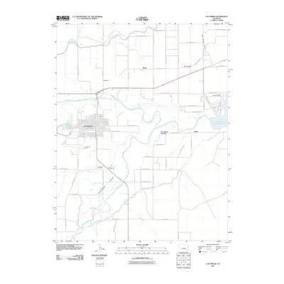
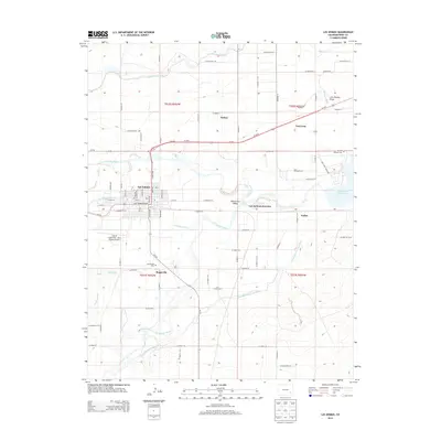
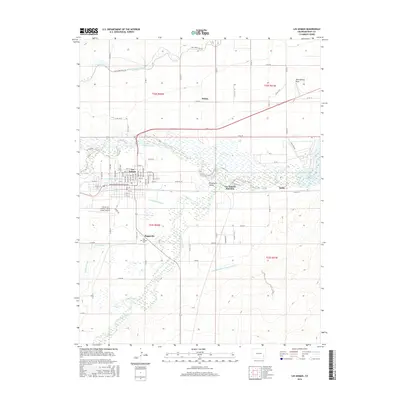
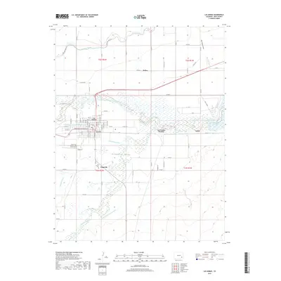
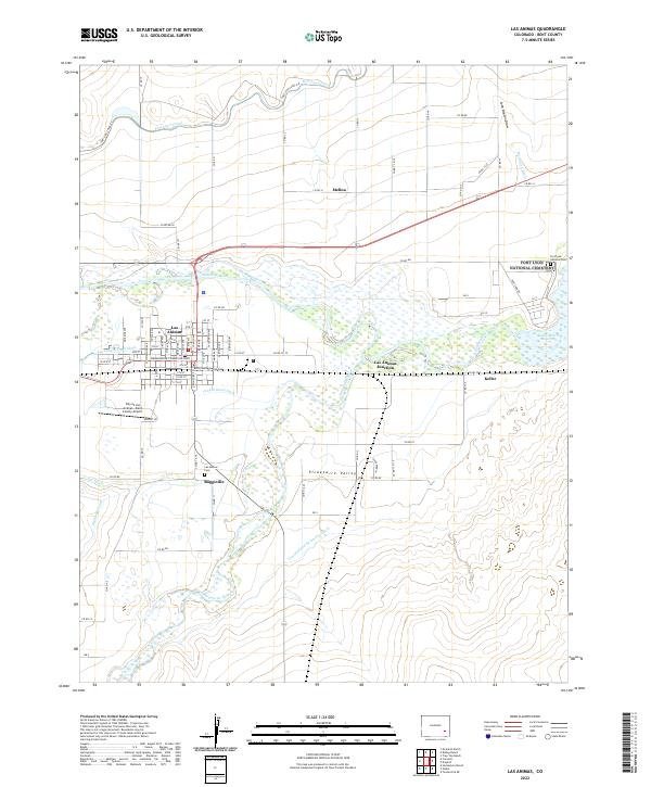
Loading map...1981 Map of Las Animas
USGS Topo · Published 1981About this map
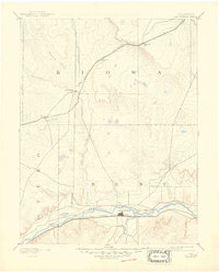
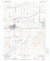
La Junta and Las Animas anchor this river-valley landscape where the Arkansas River meets the historic path of the Santa Fe Trail. The map documents a complex irrigation and transport network in the early 1980s, defined by the Atchison Topeka and Santa Fe and Missouri Pacific railroads. Large-scale water management is evident through the John Martin Reservoir and Adobe Creek Reservoir, supporting a string of agricultural communities like Rocky Ford, Ordway, and Sugar City.
Find a feature on this map
58 named features on this map. Tap any name to fly to it.
Don’t see what you’re looking for? This feature index may not catch every label — zoom into the map to look around manually.
Map Details
Date Portrayed1981
Date Published1981
PublisherU.S. Geological Survey
Map TypeTopographic
Scale1:100,000
Physical Dimensions42.5 x 25 inches
Editions of this 1981 Las Animas Map
This is the sole edition of this map. No revisions or reprints were ever made.
Historical Maps of La Junta Through Time
9 maps found

Featured Locations
Source Details
SourceU.S. Geological Survey
CopyrightPublic Domain