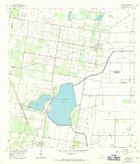
1957 Map of Lasara
USGS Topo · Published 1970About this map
Hydraulic engineering and irrigation infrastructure define this South Texas landscape, where the Monte Alto Reservoir Unit No 1 and Monte Alto Reservoir Unit No 2 dominate the center of the sheet. The area is marked by a complex system of elevated ditches and levees, including the Main Branch and the Main Supply Canal, reflecting the region's intensive agricultural development during the mid-20th century.
Find a feature on this map
20 named features on this map. Tap any name to fly to it.
Don’t see what you’re looking for? This feature index may not catch every label — zoom into the map to look around manually.
Map Details
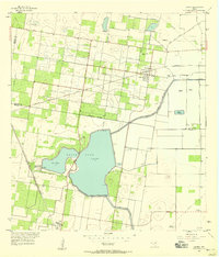
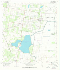
Editions of this 1957 Lasara Map
Other maps of this area

1922 · La Sal Vieja
USGS Topo · 1:62,500

1929 · Santa Rosa
USGS Topo · 1:24,000

1933 · Santa Rosa
USGS Topo · 1:31,680

1939 · Linn
USGS Topo · 1:62,500

1949 · Mc Allen
USGS Topo · 1:250,000

1953 · Brownsville
USGS Topo · 1:250,000

1954 · McAllen
USGS Topo · 1:250,000

1956 · La Sal Vieja
USGS Topo · 1:24,000

1956 · Santa Rosa
USGS Topo · 1:24,000

1956 · Yturria
USGS Topo · 1:24,000