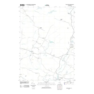
2010 Map of Lassellsville
USGS Topo · Published 2010About this map
Lassellsville and Ephratah anchor this landscape of the southern Adirondack foothills, where small hamlets are connected by a network of rural roads such as Tillboro Rd and Youkers Bush Rd. The geography is defined by the convergence of several waterways, most notably Caroga Creek, which flows past the settlement of Garoga and through the village of Rockwood. The area's agricultural and local heritage is preserved in numerous family and community burial grounds, including the Dempster Cemetery near Dempster Corners and the Christman Cemetery. Local industry and infrastructure are represented by Glasgow Mills on Glasgow Creek and the Saint-Johnsville Reservoir, illustrating the historical reliance on these local watersheds for power and water supply in the early 21st century.
Find a feature on this map
61 named features on this map. Tap any name to fly to it.
Don’t see what you’re looking for? This feature index may not catch every label — zoom into the map to look around manually.
Map Details
Editions of this 2010 Lassellsville Map
This is the sole edition of this map. No revisions or reprints were ever made.
Other maps of this area

1896 · Fonda
USGS Topo · 1:62,500

1898 · Fonda
USGS Topo · 1:62,500

1898 · Canajoharie
USGS Topo · 1:62,500

1900 · Canajoharie
USGS Topo · 1:62,500

1901 · Lassellsville
USGS Topo · 1:62,500

1902 · Canajoharie
USGS Topo · 1:62,500

1902 · Fonda
USGS Topo · 1:62,500

1903 · Gloversville
USGS Topo · 1:62,500

1903 · Lassellsville
USGS Topo · 1:62,500

1943 · Gloversville
USGS Topo · 1:62,500