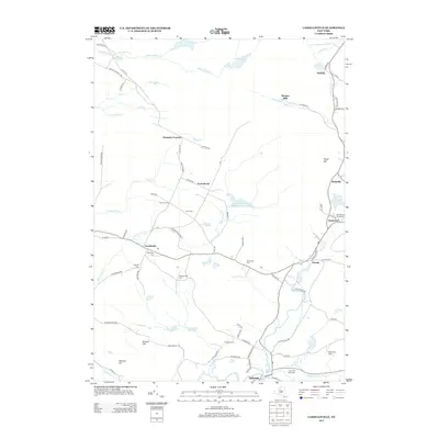
2013 Map of Lassellsville
USGS Topo · Published 2013About this map
Lassellsville and Ephratah anchor this rural corridor of Fulton County, defined by a network of winding creeks and family-named homesteads. The landscape is heavily marked by its genealogical record, featuring numerous burial grounds such as Dempster Cem, Dillaborough Cem, and the Rockwood Rural Cem. The settlement pattern follows the drainage of Caroga Cr and Middle Sprite Cr, where small clusters like Rockwood and Garoga sit at historic crossroads.
Find a feature on this map
78 named features on this map. Tap any name to fly to it.
Don’t see what you’re looking for? This feature index may not catch every label — zoom into the map to look around manually.
Map Details
Editions of this 2013 Lassellsville Map
This is the sole edition of this map. No revisions or reprints were ever made.
Other maps of this area

1896 · Fonda
USGS Topo · 1:62,500

1898 · Fonda
USGS Topo · 1:62,500

1898 · Canajoharie
USGS Topo · 1:62,500

1900 · Canajoharie
USGS Topo · 1:62,500

1901 · Lassellsville
USGS Topo · 1:62,500

1902 · Canajoharie
USGS Topo · 1:62,500

1902 · Fonda
USGS Topo · 1:62,500

1903 · Gloversville
USGS Topo · 1:62,500

1903 · Lassellsville
USGS Topo · 1:62,500

1943 · Gloversville
USGS Topo · 1:62,500