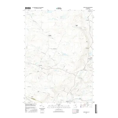
2016 Map of Lassellsville
USGS Topo · Published 2016About this map
Lassellsville and the surrounding farm country of western Fulton County are defined by a network of creeks and small family burial grounds. The landscape is dotted with small crossroads like Dempster Corners and Scotchbrush, while the legacy of early industry remains at Glasgow Mills. To the south, the village of Ephratah sits near the border of Fulton County and Montgomery County, reflecting the historical settlement patterns of the Mohawk Valley hinterlands.
Find a feature on this map
76 named features on this map. Tap any name to fly to it.
Don’t see what you’re looking for? This feature index may not catch every label — zoom into the map to look around manually.
Map Details
Editions of this 2016 Lassellsville Map
This is the sole edition of this map. No revisions or reprints were ever made.
Other maps of this area

1896 · Fonda
USGS Topo · 1:62,500

1898 · Fonda
USGS Topo · 1:62,500

1898 · Canajoharie
USGS Topo · 1:62,500

1900 · Canajoharie
USGS Topo · 1:62,500

1901 · Lassellsville
USGS Topo · 1:62,500

1902 · Canajoharie
USGS Topo · 1:62,500

1902 · Fonda
USGS Topo · 1:62,500

1903 · Gloversville
USGS Topo · 1:62,500

1903 · Lassellsville
USGS Topo · 1:62,500

1943 · Gloversville
USGS Topo · 1:62,500