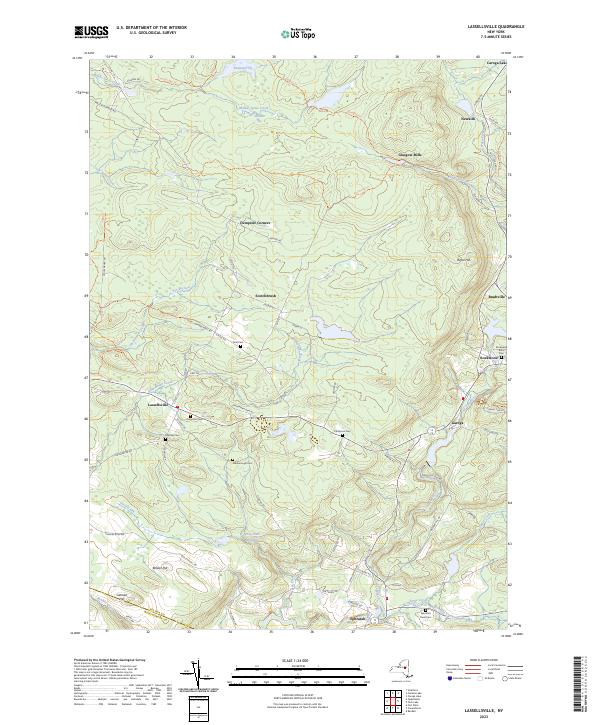
2023 Map of Lassellsville
USGS Topo · Published 2023About this map
Lassellsville and Ephratah anchor this landscape of the southern Adirondack foothills, where the network of small settlements reflects a late-twentieth-century transition from early industrial hamlets to modern rural communities. The terrain is defined by numerous family-named landmarks and watercourses, including Caroga Creek and Sprite Creek, which historically powered the local economy. Genealogists will find significant value in the distribution of small burial grounds such as Dillaborough Cem, Dempster Cem, and Fical Cem, often located near former crossroad hamlets like Scotchbrush and Dempster Corners.
Find a feature on this map
77 named features on this map. Tap any name to fly to it.
Don’t see what you’re looking for? This feature index may not catch every label — zoom into the map to look around manually.
Map Details
Editions of this 2023 Lassellsville Map
This is the sole edition of this map. No revisions or reprints were ever made.
Other maps of this area

1896 · Fonda
USGS Topo · 1:62,500

1898 · Fonda
USGS Topo · 1:62,500

1898 · Canajoharie
USGS Topo · 1:62,500

1900 · Canajoharie
USGS Topo · 1:62,500

1901 · Lassellsville
USGS Topo · 1:62,500

1902 · Canajoharie
USGS Topo · 1:62,500

1902 · Fonda
USGS Topo · 1:62,500

1903 · Gloversville
USGS Topo · 1:62,500

1903 · Lassellsville
USGS Topo · 1:62,500

1943 · Gloversville
USGS Topo · 1:62,500