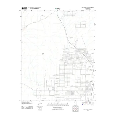
2012 Map of Last Chance Range
USGS Topo · Published 2012About this map
The Last Chance Range dominates the western landscape of this Nye County map, where the arid terrain meets the expanding residential grid of the valley floor. In the early 21st century, the desert is organized into a dense network of suburban streets such as Sisson Ave and Roadrunner Rd, reflecting the rapid growth of this region in Nevada. Amidst this modern expansion, older agricultural identifiers remain, including Fowler Ranch and Garlin Ranch on the eastern edge. The map reveals a transition between the untamed slopes of the range and a geometric community plan characterized by family-named streets like Mazzuka Ave and Pascoe Ave, showing how the desert was reclaimed for residential development just after the turn of the millennium.
Find a feature on this map
131 named features on this map. Tap any name to fly to it.
Don’t see what you’re looking for? This feature index may not catch every label — zoom into the map to look around manually.
Map Details
Editions of this 2012 Last Chance Range Map
This is the sole edition of this map. No revisions or reprints were ever made.
Other maps of this area

1907 · Las Vegas
USGS Topo · 1:250,000

1908 · Furnace Creek
USGS Topo · 1:250,000

1908 · Las Vegas
USGS Topo · 1:250,000

1910 · Furnace Creek
USGS Topo · 1:250,000

1948 · Death Valley
USGS Topo · 1:250,000

1954 · Las Vegas
USGS Topo · 1:250,000

1954 · Death Valley
USGS Topo · 1:250,000

1956 · Death Valley
USGS Topo · 1:250,000

1957 · Las Vegas
USGS Topo · 1:250,000

1957 · Death Valley
USGS Topo · 1:250,000