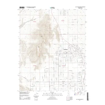
2014 Map of Last Chance Range
USGS Topo · Published 2014About this map
Last Chance Range dominates the western portion of this 2014 topographic study, where the arid heights transition into the sprawling residential and desert landscapes of the Mojave Desert. The eastern half of the map illustrates the organized expansion of Pahrump within the Pahrump Valley, showing a dense grid of streets and developments. Notable thoroughfares such as Fort Churchill Rd and W Sisson Ave provide structure to this growing desert community. The street names often reflect the local mineralogy, with a cluster of routes including W Amethyst Rd, W Lapis Rd, and W Sapphire Rd defining the northern residential blocks. This map documents a period of significant land subdivision and infrastructure growth in Nye County, contrasting the natural geography of the range with the systematic human footprint on the valley floor.
Find a feature on this map
103 named features on this map. Tap any name to fly to it.
Don’t see what you’re looking for? This feature index may not catch every label — zoom into the map to look around manually.
Map Details
Editions of this 2014 Last Chance Range Map
This is the sole edition of this map. No revisions or reprints were ever made.
Other maps of this area

1907 · Las Vegas
USGS Topo · 1:250,000

1908 · Furnace Creek
USGS Topo · 1:250,000

1908 · Las Vegas
USGS Topo · 1:250,000

1910 · Furnace Creek
USGS Topo · 1:250,000

1948 · Death Valley
USGS Topo · 1:250,000

1954 · Las Vegas
USGS Topo · 1:250,000

1954 · Death Valley
USGS Topo · 1:250,000

1956 · Death Valley
USGS Topo · 1:250,000

1957 · Las Vegas
USGS Topo · 1:250,000

1957 · Death Valley
USGS Topo · 1:250,000