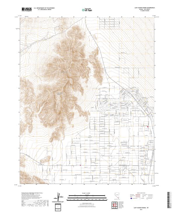
2021 Map of Last Chance Range
USGS Topo · Published 2021About this map
Pahrump Valley serves as the primary setting for this contemporary survey of the Nevada desert landscape. The map captures the edge of residential development expanding from the east into the arid Mojave Desert floor, where a structured grid of local roads like Roadrunner Rd and Fuego Ln begins to meet the wilderness. To the west, the topography rises sharply into the Last Chance Range and the Devils Hole Hills, providing a stark contrast between the planned suburban footprint and the steep, uninhabited mountain terrain. Local land use is evidenced by Blosser Ranch, while the street nomenclature, including Big Oak Ln and W Harris Farm Rd, reflects the area's agricultural and residential character on the periphery of Nye County.
Find a feature on this map
103 named features on this map. Tap any name to fly to it.
Don’t see what you’re looking for? This feature index may not catch every label — zoom into the map to look around manually.
Map Details
Editions of this 2021 Last Chance Range Map
This is the sole edition of this map. No revisions or reprints were ever made.
Other maps of this area

1907 · Las Vegas
USGS Topo · 1:250,000

1908 · Furnace Creek
USGS Topo · 1:250,000

1908 · Las Vegas
USGS Topo · 1:250,000

1910 · Furnace Creek
USGS Topo · 1:250,000

1948 · Death Valley
USGS Topo · 1:250,000

1954 · Las Vegas
USGS Topo · 1:250,000

1954 · Death Valley
USGS Topo · 1:250,000

1956 · Death Valley
USGS Topo · 1:250,000

1957 · Las Vegas
USGS Topo · 1:250,000

1957 · Death Valley
USGS Topo · 1:250,000