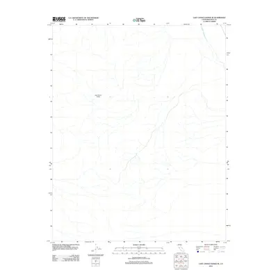
2012 Map of Last Chance Range SE
USGS Topo · Published 2012About this map
The Last Chance Range dominates the western portion of this high-desert landscape in Inyo County, characterized by a complex network of dry drainage patterns. Toward the northeastern corner, the Death Valley Wash cuts through the terrain, indicating the primary hydrological path for seasonal runoff in this arid environment. The map highlights the isolation of this sector, where the absence of roads and settlements at this time underscores the primitive and undeveloped state of the land. Topographic contours reveal the steep elevations of the range as it meets the desert floor, providing a detailed record of the natural topography in this specific corner of the Mojave Desert region.
Find a feature on this map
2 named features on this map. Tap any name to fly to it.
Don’t see what you’re looking for? This feature index may not catch every label — zoom into the map to look around manually.
Map Details
Editions of this 2012 Last Chance Range SE Map
This is the sole edition of this map. No revisions or reprints were ever made.
Other maps of this area

1908 · Lida
USGS Topo · 1:250,000

1908 · Ballarat
USGS Topo · 1:250,000

1913 · Lida
USGS Topo · 1:250,000

1913 · Ballarat
USGS Topo · 1:250,000

1948 · Death Valley
USGS Topo · 1:250,000

1954 · Death Valley
USGS Topo · 1:250,000

1954 · Goldfield
USGS Topo · 1:250,000

1955 · Goldfield
USGS Topo · 1:250,000

1956 · Death Valley
USGS Topo · 1:250,000

1957 · Death Valley
USGS Topo · 1:250,000