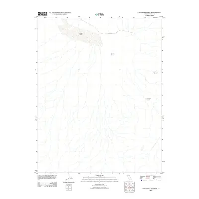
2012 Map of Last Chance Range SW
USGS Topo · Published 2012About this map
Eureka Valley dominates this arid landscape in Inyo County, situated between the steep rising slopes of the Last Chance Range and the remarkable geologic formations of the Eureka Dunes. The topography is characterized by a complex network of ephemeral washes and alluvial fans that drain from the high peaks toward the valley floor. Human presence is sparse, represented primarily by S Eureka Rd winding through the northern portion of the terrain. The southeastern corner of the sheet transitions into the narrow confines of Dedeckera Canyon, revealing the stark relief typical of the High Sierra's eastern desert reaches. This 2012 survey documents the geomorphology of the region with precision, illustrating the relationship between wind-driven sand deposits and the bedrock geology of the surrounding mountains.
Find a feature on this map
5 named features on this map. Tap any name to fly to it.
Don’t see what you’re looking for? This feature index may not catch every label — zoom into the map to look around manually.
Map Details
Editions of this 2012 Last Chance Range SW Map
This is the sole edition of this map. No revisions or reprints were ever made.
Other maps of this area

1908 · Lida
USGS Topo · 1:250,000

1908 · Ballarat
USGS Topo · 1:250,000

1913 · Lida
USGS Topo · 1:250,000

1913 · Ballarat
USGS Topo · 1:250,000

1948 · Death Valley
USGS Topo · 1:250,000

1951 · Waucoba Wash
USGS Topo · 1:62,500

1954 · Death Valley
USGS Topo · 1:250,000

1954 · Goldfield
USGS Topo · 1:250,000

1955 · Goldfield
USGS Topo · 1:250,000

1956 · Death Valley
USGS Topo · 1:250,000