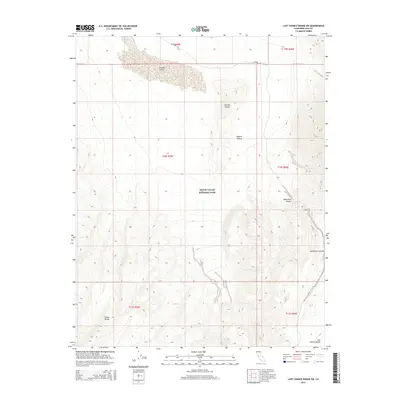
2015 Map of Last Chance Range SW
USGS Topo · Published 2015About this map
Death Valley National Park encompasses the majority of this high-desert landscape, where the northern extremes of the Mojave Desert meet the towering sands of the Eureka Dunes. The terrain is defined by dramatic topographic shifts between the floor of Eureka Valley and the steep elevations of the Saline Range to the southwest. This 2015 survey reveals a primitive transportation network, with S Eureka Rd serving as the primary corridor through the arid basin.
Find a feature on this map
14 named features on this map. Tap any name to fly to it.
Don’t see what you’re looking for? This feature index may not catch every label — zoom into the map to look around manually.
Map Details
Editions of this 2015 Last Chance Range SW Map
This is the sole edition of this map. No revisions or reprints were ever made.
Other maps of this area

1908 · Lida
USGS Topo · 1:250,000

1908 · Ballarat
USGS Topo · 1:250,000

1913 · Lida
USGS Topo · 1:250,000

1913 · Ballarat
USGS Topo · 1:250,000

1948 · Death Valley
USGS Topo · 1:250,000

1951 · Waucoba Wash
USGS Topo · 1:62,500

1954 · Death Valley
USGS Topo · 1:250,000

1954 · Goldfield
USGS Topo · 1:250,000

1955 · Goldfield
USGS Topo · 1:250,000

1956 · Death Valley
USGS Topo · 1:250,000