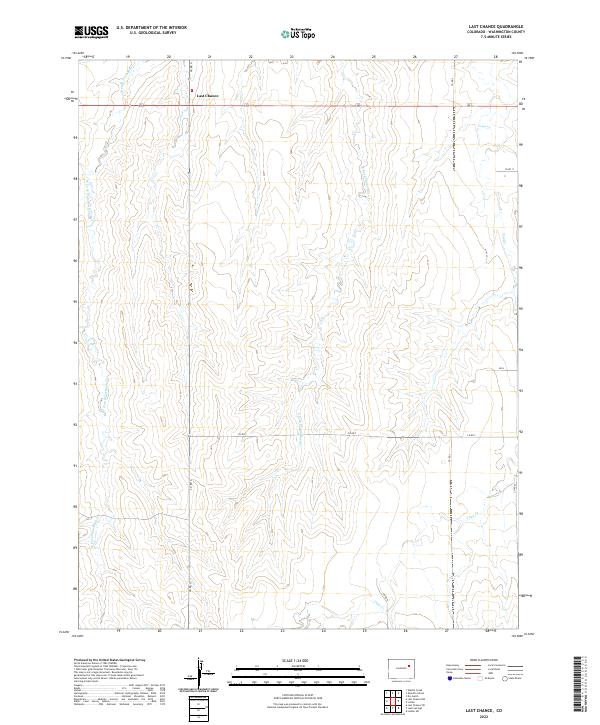
2022 Map of Last Chance
USGS Topo · Published 2022About this map
Last Chance stands at the intersection of several key routes in this section of Washington County, serving as a distinct waypoint in the high plains landscape. The area is defined by the dendritic drainage patterns of the W Fork Plum Bush Cr and the E Fork Plumb Bush Cr, which carve through the terrain alongside Vega Cr. This 2022 survey illustrates the modern grid of rural transport, where local roads like Co Rd G, Co Rd 11, and Co RD 7 maintain the spatial organization of the eastern Colorado ranching and agricultural lands. The map provides a clear record of land divisions across several townships, including t4s r55w and t4s r56w, documenting the persistence of the small settlement and its surrounding watercourses in a sparsely populated region.
Find a feature on this map
17 named features on this map. Tap any name to fly to it.
Don’t see what you’re looking for? This feature index may not catch every label — zoom into the map to look around manually.
Map Details
Editions of this 2022 Last Chance Map
This is the sole edition of this map. No revisions or reprints were ever made.
Other maps of this area

1954 · Limon
USGS Topo · 1:250,000

1957 · Limon
USGS Topo · 1:250,000

1958 · Limon
USGS Topo · 1:250,000

1973 · Dry Gulch
USGS Topo · 1:24,000

1973 · Last Chance SW
USGS Topo · 1:24,000

1973 · Last Chance NW
USGS Topo · 1:24,000

1973 · Lusto Springs
USGS Topo · 1:24,000

1973 · Lindon SW
USGS Topo · 1:24,000

1973 · Lindon
USGS Topo · 1:24,000

1973 · Last Chance
USGS Topo · 1:24,000