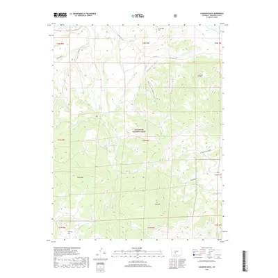
2019 Map of Laughlin Gulch
USGS Topo · Published 2019About this map
Rio Grande National Forest dominates this Saguache County landscape, where the high-altitude terrain is carved by a complex system of drainages and peaks. Significant landmarks like Spruce Mtn and Tracy Mtn rise above the drainage basins of Laughlin Gulch, Burro Canyon, and Boland Canyon. To the north, Saguache Creek flows through the valley near Houghland Hill, while the southern reaches of the map include the grassy expanse of Fullerton Park. The water sources in this dry mountain environment, such as Houghland Hill Spring and Boland Spring, were vital for the early ranching and grazing operations that utilized the public lands. Local access is defined by a network of county roads including Co RD 41g and Co RD cc36, which follow the natural contours of the gulches and the banks of Mill Creek.
Find a feature on this map
23 named features on this map. Tap any name to fly to it.
Don’t see what you’re looking for? This feature index may not catch every label — zoom into the map to look around manually.
Map Details
Editions of this 2019 Laughlin Gulch Map
This is the sole edition of this map. No revisions or reprints were ever made.
Other maps of this area

1915 · Del Norte
USGS Topo · 1:125,000

1917 · Del Norte
USGS Topo · 1:125,000

1945 · Durango
USGS Topo · 1:250,000

1953 · Durango
USGS Topo · 1:250,000

1954 · Durango
USGS Topo · 1:250,000

1956 · Montrose
USGS Topo · 1:250,000

1959 · Montrose
USGS Topo · 1:250,000

1960 · Montrose
USGS Topo · 1:250,000

1961 · Durango
USGS Topo · 1:250,000

1963 · Durango
USGS Topo · 1:250,000