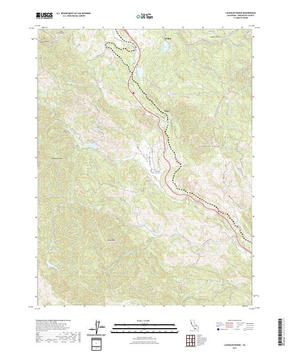
2021 Map of Laughlin Range
USGS Topo · Published 2021About this map
Willits serves as the gateway to the high ridgelines of the Mendocino interior, where the Laughlin Range dominates the eastern horizon. The landscape is defined by the headwaters of several critical drainages, including Forsythe Cr and Walker Cr, which carve through deep canyons such as McGee Canyon and Muir Canyon. The survey illustrates a transition from the developed valley floor to the high-elevation wilderness of Eagle Peak.
Find a feature on this map
60 named features on this map. Tap any name to fly to it.
Don’t see what you’re looking for? This feature index may not catch every label — zoom into the map to look around manually.
Map Details
Editions of this 2021 Laughlin Range Map
This is the sole edition of this map. No revisions or reprints were ever made.
Other maps of this area

1920 · Ukiah
USGS Topo · 1:62,500

1922 · Willits
USGS Topo · 1:62,500

1942 · Willits
USGS Topo · 1:62,500

1943 · Pomo
USGS Topo · 1:62,500

1943 · Boonville
USGS Topo · 1:62,500

1944 · Ukiah
USGS Topo · 1:62,500

1944 · Willits
USGS Topo · 1:62,500

1957 · Ukiah
USGS Topo · 1:250,000

1958 · Ukiah
USGS Topo · 1:24,000
1958 · Ukiah
USGS Topo · 1:62,500