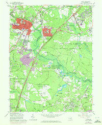
1965 Map of Laurel
USGS Topo · Published 1972About this map
The Patuxent River corridor defines this landscape, where mid-century suburban expansion meets massive federal land holdings in the Maryland suburbs between Washington and Baltimore. The town of Laurel serves as the primary hub, showing significant residential growth near the Baltimore and Ohio Railroad and the famous Laurel Racetrack. To the east and south, the landscape shifts from civilian neighborhoods like Maryland City and Oak Crest to restricted government installations. Significant acreage is dedicated to the Fort George G Meade Military Reservation and the National Security Agency, while further south, the U S Dept of Agriculture Research Center and the Patuxent Wildlife Research Center preserve large tracts of wetlands such as Knowles Marshes. Local history remains visible through older sites like Montpelier, Snow Hill Manor, and several rural burial grounds including Ivy Hill Cem.
Find a feature on this map
105 named features on this map. Tap any name to fly to it.
Don’t see what you’re looking for? This feature index may not catch every label — zoom into the map to look around manually.
Map Details
Editions of this 1965 Laurel Map
4 editions found
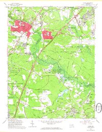
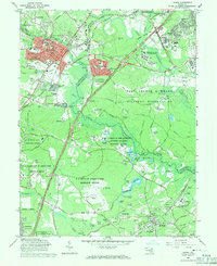
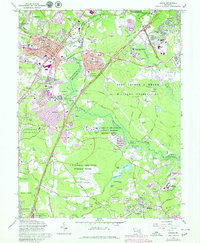
Other maps of this area

1892 · Laurel
USGS Topo · 1:62,500

1892 · Owensville
USGS Topo · 1:62,500

1894 · Laurel
USGS Topo · 1:62,500

1894 · Relay
USGS Topo · 1:62,500

1895 · Owensville
USGS Topo · 1:62,500

1897 · Laurel
USGS Topo · 1:62,500

1899 · Patuxent
USGS Topo · 1:125,000

1900 · Washington
USGS Topo · 1:62,500

1905 · Owensville
USGS Topo · 1:62,500

1906 · Patuxent
USGS Topo · 1:125,000