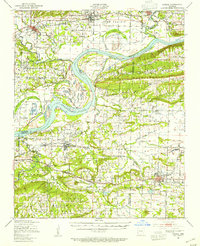
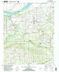
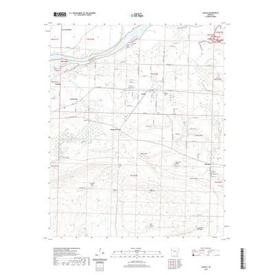
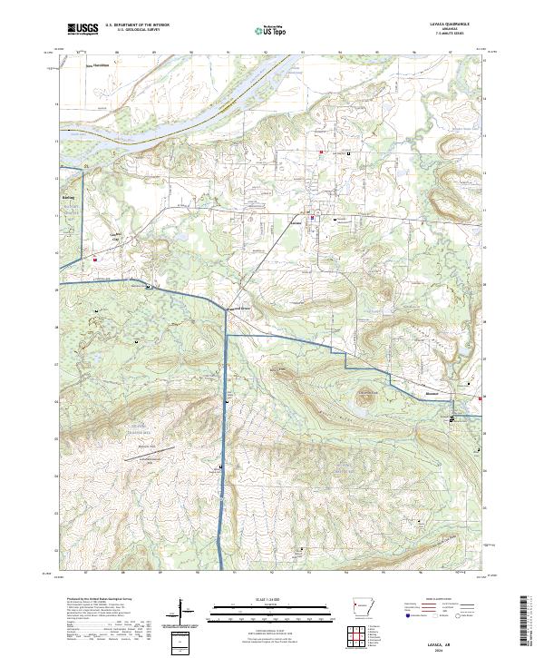
1947 Map of Lavaca
USGS Topo · Published 1954About this map
The Arkansas River winds through this post-war landscape, defining the boundaries between Crawford, Franklin, and Sebastian counties. To the south, the Camp Chaffee Military Reservation dominates a large portion of the terrain, illustrating the significant military footprint in the region during the 1940s. The agricultural and industrial character of the area is evidenced by the numerous gas wells scattered near Alma and Kibler, alongside several strip mines located near Vesta and Charleston.
Find a feature on this map
75 named features on this map. Tap any name to fly to it.
Don’t see what you’re looking for? This feature index may not catch every label — zoom into the map to look around manually.
Map Details
Editions of this 1947 Lavaca Map
This is the sole edition of this map. No revisions or reprints were ever made.
Historical Maps of Alma Through Time
12 maps found

1906 Lavaca
Sebastian County, AR
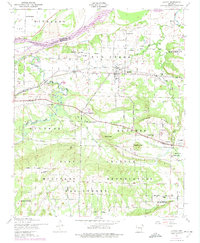
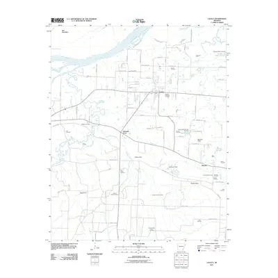
1947 Lavaca
Sebastian County, AR
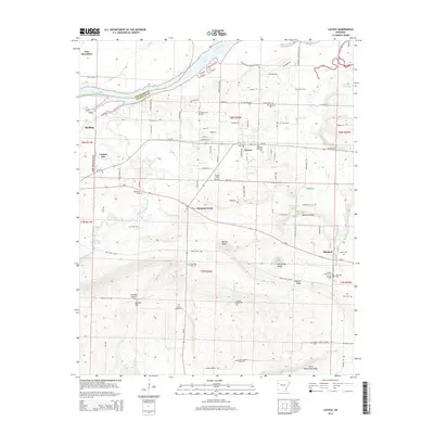
1947 Lavaca
Sebastian County, AR
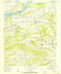
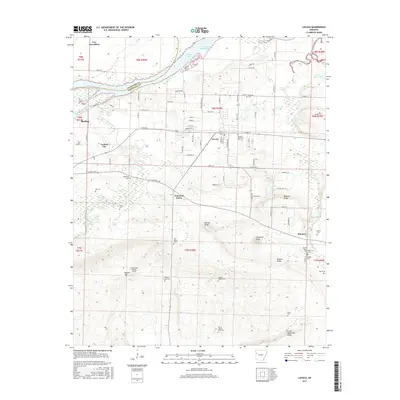
1951 Lavaca
Sebastian County, AR

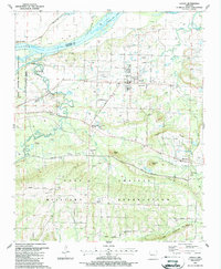
1976 Lavaca
Sebastian County, AR
1987 Lavaca
Sebastian County, AR
1997 Lavaca
Sebastian County, AR
2011 Lavaca
Sebastian County, AR
2014 Lavaca
Sebastian County, AR
2017 Lavaca
Sebastian County, AR
2020 Lavaca
Sebastian County, AR
2024 Lavaca
Sebastian County, AR