Loading...
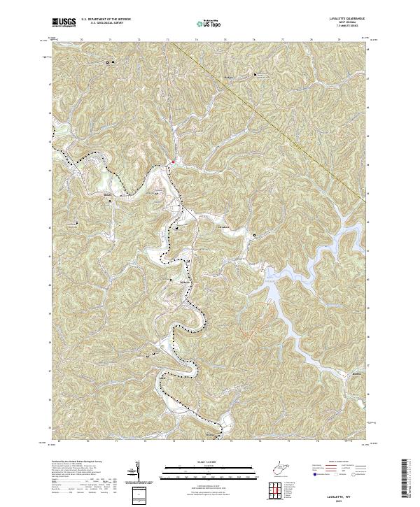
Loading map...2023 Map of Lavalette
USGS Topo · Published 2023About this map
Beech Fork Lake dominates the central landscape of this Wayne County survey, its winding fingers branching into the surrounding hills along Stowers Branch and Miller Fork. The rugged topography is defined by the winding course of Twelvepole Creek, which links the communities of Lavalette and Dickson. These valley settlements are connected by a dense network of country roads like 5th Street Rd and German Ridge Rd, tracing the high ground between numerous named hollows.
Find a feature on this map
139 named features on this map. Tap any name to fly to it.
Don’t see what you’re looking for? This feature index may not catch every label — zoom into the map to look around manually.
Map Details
Date Portrayed2023
Date Published2023
PublisherU.S. Geological Survey
Map TypeTopographic
Scale1:24000
Physical Dimensions24 x 29 inches
Editions of this 2023 Lavalette Map
This is the sole edition of this map. No revisions or reprints were ever made.
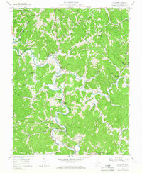
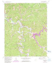
Historical Maps of Ardel Through Time
3 maps found
Featured Locations
Source Details
SourceU.S. Geological Survey
CopyrightPublic Domain