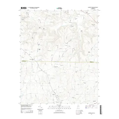
2014 Map of Lawrence Cove
USGS Topo · Published 2014About this map
Brindley Mountain dominates the eastern elevation of this landscape, while the Tennessee Valley Divide bisects the terrain from east to west. This divide marks a significant hydrological transition where waters flow toward different drainage basins. The area exhibits a dense pattern of early rural development, notably anchored by numerous community burial grounds such as Lawrence Cove Cem, Gum Pond Cem, and Daniels Chapel Cem. Small settlements like Eva, Center Dale, and Fairview are connected by a network of county roads that navigate around complex hollows, including Derrick Hollow and Puckett Hollow. The map also details the Morgan and Cullman County line, showing how local governance intersects with the natural topography of ridges like Self Mtn and valleys like Greasy Cove.
Find a feature on this map
169 named features on this map. Tap any name to fly to it.
Don’t see what you’re looking for? This feature index may not catch every label — zoom into the map to look around manually.
Map Details
Editions of this 2014 Lawrence Cove Map
This is the sole edition of this map. No revisions or reprints were ever made.
Other maps of this area

1888 · Cullman
USGS Topo · 1:125,000

1892 · Cullman
USGS Topo · 1:125,000

1936 · Hulaco
USGS Topo · 1:24,000

1936 · Eva
USGS Topo · 1:24,000

1936 · Somerville
USGS Topo · 1:24,000

1936 · Lawrence Cove
USGS Topo · 1:24,000

1936 · Center Grove
USGS Topo · 1:24,000

1936 · Holly Pond
USGS Topo · 1:24,000
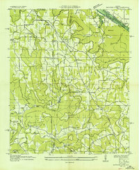
1936 · Newsome Sinks
USGS Topo · 1:24,000
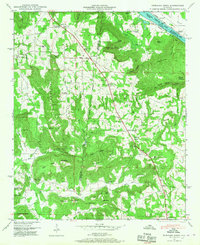
1947 · Newsome Sinks
USGS Topo · 1:24,000