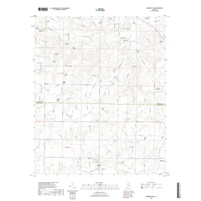
2018 Map of Lawrence Cove
USGS Topo · Published 2018About this map
Brindley Mountain and the Tennessee Valley Divide define this landscape where the boundaries of Morgan and Cullman counties meet. The terrain is marked by steep valleys and narrow hollows, such as Goat Hollow and Derrick Hollow, which have historically shaped the settlement patterns of local communities. The area is dotted with small rural centers including Fairview, Eva, and Center Dale, connected by a network of county roads that navigate the complex topography. Genealogists will find a wealth of local history through the numerous burial grounds recorded here, such as Canaan Cem, Etha Cem, and Daniels Chapel Cem. The drainage of Duck Creek and Wolf Cr in the south contrasts with the northern slopes that feed into Lawrence Cove and Greasy Cove, illustrating the geographic transition between the plateaus and the lower valleys of northern Alabama.
Find a feature on this map
164 named features on this map. Tap any name to fly to it.
Don’t see what you’re looking for? This feature index may not catch every label — zoom into the map to look around manually.
Map Details
Editions of this 2018 Lawrence Cove Map
This is the sole edition of this map. No revisions or reprints were ever made.
Other maps of this area

1888 · Cullman
USGS Topo · 1:125,000

1892 · Cullman
USGS Topo · 1:125,000

1936 · Hulaco
USGS Topo · 1:24,000

1936 · Eva
USGS Topo · 1:24,000

1936 · Somerville
USGS Topo · 1:24,000

1936 · Lawrence Cove
USGS Topo · 1:24,000

1936 · Center Grove
USGS Topo · 1:24,000

1936 · Holly Pond
USGS Topo · 1:24,000
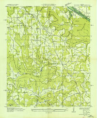
1936 · Newsome Sinks
USGS Topo · 1:24,000
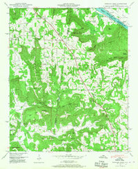
1947 · Newsome Sinks
USGS Topo · 1:24,000