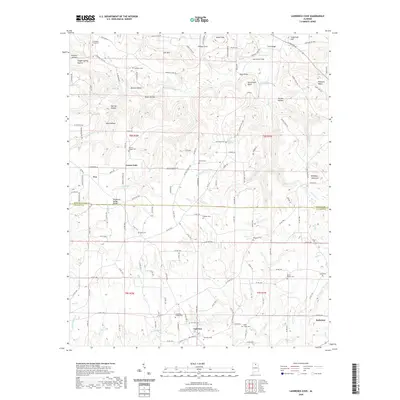
2020 Map of Lawrence Cove
USGS Topo · Published 2020About this map
Brindley Mountain dominates the northern terrain of this landscape, rising above Crawford Bottom and the winding course of Rock Cr. The topography is defined by the Tennessee Valley Divide, which separates the northern waters flowing toward the Tennessee River from the southern drainage systems of Brindley Cr and Wolf Cr. This geographic partition has long influenced local settlement patterns, with communities like Eva, Fairview, and Baileyton established along the ridgelines and valley floors.
Find a feature on this map
169 named features on this map. Tap any name to fly to it.
Don’t see what you’re looking for? This feature index may not catch every label — zoom into the map to look around manually.
Map Details
Editions of this 2020 Lawrence Cove Map
This is the sole edition of this map. No revisions or reprints were ever made.
Other maps of this area

1888 · Cullman
USGS Topo · 1:125,000

1892 · Cullman
USGS Topo · 1:125,000

1936 · Hulaco
USGS Topo · 1:24,000

1936 · Eva
USGS Topo · 1:24,000

1936 · Somerville
USGS Topo · 1:24,000

1936 · Lawrence Cove
USGS Topo · 1:24,000

1936 · Center Grove
USGS Topo · 1:24,000

1936 · Holly Pond
USGS Topo · 1:24,000
1936 · Newsome Sinks
USGS Topo · 1:24,000
1947 · Newsome Sinks
USGS Topo · 1:24,000