2022 Map of Lawrenceburg
USGS Topo · Published 2022About this map
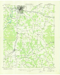
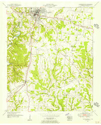
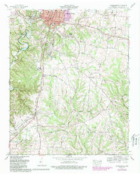
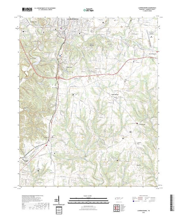
Lawrenceburg serves as the central hub for this portion of Lawrence County, where the Lawrence County Courthouse stands as a focal point for the regional government and local history. The town’s layout is punctuated by numerous family and community burial grounds, including the Mimosa Cem and the Lawrenceburg City Cem near Lawrenceburg College. The surrounding landscape is defined by the winding course of Shoal Creek, which carves through the terrain near landmarks like Horseshoe Bend and Raven Bluff.
Find a feature on this map
175 named features on this map. Tap any name to fly to it.
Don’t see what you’re looking for? This feature index may not catch every label — zoom into the map to look around manually.
Map Details
Editions of this 2022 Lawrenceburg Map
This is the sole edition of this map. No revisions or reprints were ever made.
Historical Maps of Antioch Through Time
5 maps found