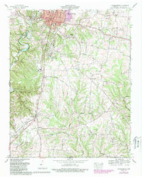
1966 Map of Lawrenceburg
USGS Topo · Published 1989About this map
Lawrenceburg serves as the focal point for this mid-1960s survey, showing a landscape defined by its position along the Louisville and Nashville railroad and the winding course of Shoal Creek. The town center reveals an established civic heart with the Courthouse, Post Office, and City Hall, while suburban growth is reflected in schools like West Highland Sch and E. O. Coffman Jr High Sch. To the west, the expansive David Crockett State Park protects the terrain around Wildcat Ridge, preserving the natural breaks in the topography that characterize this part of Lawrence County.
Find a feature on this map
78 named features on this map. Tap any name to fly to it.
Don’t see what you’re looking for? This feature index may not catch every label — zoom into the map to look around manually.
Map Details
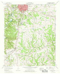
Editions of this 1966 Lawrenceburg Map
2 editions found
Other maps of this area

1936 · Deerfield
USGS Topo · 1:24,000

1936 · Campbellsville
USGS Topo · 1:24,000

1936 · Lawrenceburg
USGS Topo · 1:24,000

1936 · Ethridge
USGS Topo · 1:24,000

1936 · Long Branch
USGS Topo · 1:24,000

1936 · Loretto
USGS Topo · 1:24,000

1936 · Bodenham
USGS Topo · 1:24,000

1936 · Appleton
USGS Topo · 1:24,000

1936 · Bonnertown
USGS Topo · 1:24,000
1948 · Appleton
USGS Topo · 1:24,000