
1936 Map of Long Branch
USGS Topo · Published 1936About this map
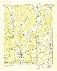
The Stribling Orphan Home sits near the northern edge of this 1930s landscape, a time when the rural communities of Lawrence County were connected by a intricate network of creeks and small school districts. Settlements like Crewstown and Pleasant Point anchor a terrain defined by the winding course of Shoal Creek and its many tributaries, including Long Branch Creek and Brushy Creek. The transportation and industrial corridor in the southeast is clearly marked by the Louisville and Nashville railroad and the Jackson Hy, running parallel to an electric power transmission line.
Find a feature on this map
52 named features on this map. Tap any name to fly to it.
Don’t see what you’re looking for? This feature index may not catch every label — zoom into the map to look around manually.
Map Details
Editions of this 1936 Long Branch Map
This is the sole edition of this map. No revisions or reprints were ever made.
Other maps of this area

1905 · Waynesboro
USGS Topo · 1:125,000

1936 · Westpoint
USGS Topo · 1:24,000

1936 · Deerfield
USGS Topo · 1:24,000

1936 · Lawrenceburg
USGS Topo · 1:24,000

1936 · Ethridge
USGS Topo · 1:24,000

1936 · Loretto
USGS Topo · 1:24,000
1936 · St. Joseph
USGS Topo · 1:24,000

1936 · Bonnertown
USGS Topo · 1:24,000

1936 · Ovilla
USGS Topo · 1:24,000
1950 · Westpoint
USGS Topo · 1:24,000