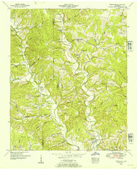
1950 Map of Westpoint
USGS Topo · Published 1954About this map
Westpoint sits at the confluence of Factory Creek and Chisholm Creek in Lawrence County, serving as a hub for the surrounding ridges and hollows in the mid-20th century. The landscape is defined by the Wayne Co Lawrence Co boundary line and the rugged terrain of Shakerag Ridge. This era shows a community in transition; while active rail lines serve the valley, a Dismantled Railroad follows the path of Caperton Hollow, and numerous Strip Mines (Abandoned) dot the eastern hills. The density of local institutions, from Silver Springs School in the north to Darnell Sch in the west, alongside family-named landmarks like Gallaher Cem and Robinson Cem, indicates a once-thriving rural population. Transport routes like California Road navigate the complex topography of Johnson Hollow and Melton Hollow, connecting isolated homesteads to the primary settlements at Lodi and Pinkney.
Find a feature on this map
68 named features on this map. Tap any name to fly to it.
Don’t see what you’re looking for? This feature index may not catch every label — zoom into the map to look around manually.
Map Details
Editions of this 1950 Westpoint Map
2 editions found
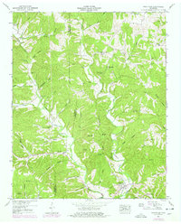
Other maps of this area

1905 · Waynesboro
USGS Topo · 1:125,000

1936 · Westpoint
USGS Topo · 1:24,000

1936 · Deerfield
USGS Topo · 1:24,000

1936 · Collinwood
USGS Topo · 1:24,000

1936 · Light
USGS Topo · 1:24,000

1936 · Negro Hollow
USGS Topo · 1:24,000

1936 · Long Branch
USGS Topo · 1:24,000

1936 · Loretto
USGS Topo · 1:24,000
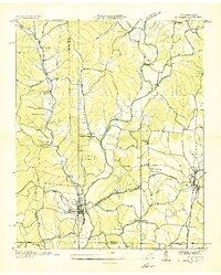
1936 · St. Joseph
USGS Topo · 1:24,000

1936 · Ovilla
USGS Topo · 1:24,000