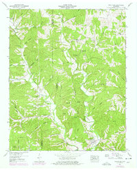
1950 Map of Westpoint
USGS Topo · Published 1978About this map
Westpoint sits at the confluence of Chisholm Creek and Factory Creek, serving as a central point in this mid-century topographic record of the Lawrence and Wayne County border. The landscape is defined by its deep hollows and ridges, such as Shakerag Ridge and Happy Hollow, while the local economy shows a clear transition. The presence of a dismantled railroad and numerous strip mines (Abandoned) scattered across the hills indicates an era of industrial extraction that had largely passed by the time of the 1950 field check. Rural life remains anchored by several small congregations and family landmarks, including Bethlehem Church and Cedar Spring Church. These settlements, though scattered, are connected by an intricate network of creeks like Shawnette Creek and Adams Branch, which shaped the early paths and farm placements throughout the Wayne Co Lawrence Co borderlands.
Find a feature on this map
48 named features on this map. Tap any name to fly to it.
Don’t see what you’re looking for? This feature index may not catch every label — zoom into the map to look around manually.
Map Details
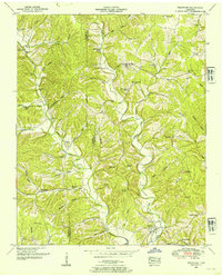
Editions of this 1950 Westpoint Map
2 editions found
Other maps of this area

1905 · Waynesboro
USGS Topo · 1:125,000

1936 · Westpoint
USGS Topo · 1:24,000

1936 · Deerfield
USGS Topo · 1:24,000

1936 · Collinwood
USGS Topo · 1:24,000

1936 · Light
USGS Topo · 1:24,000

1936 · Negro Hollow
USGS Topo · 1:24,000

1936 · Long Branch
USGS Topo · 1:24,000

1936 · Loretto
USGS Topo · 1:24,000
1936 · St. Joseph
USGS Topo · 1:24,000

1936 · Ovilla
USGS Topo · 1:24,000