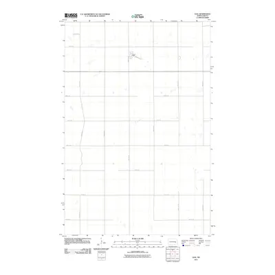
2011 Map of Leal
USGS Topo · Published 2011About this map
Leal serves as the central hub of this prairie landscape, defined by its rectilinear grid and the remnants of its transportation history. The town's layout is anchored by Railway St, reflecting the rail-driven development common across the North Dakota plains. The surrounding territory is partitioned by a meticulous network of section-line roads, including 103rd Ave SE and 101st Ave SE, which facilitate access to the numerous small depressions and seasonal wetlands that dot the agricultural fields. This 2011 survey captures the area as a stable rural community, where the infrastructure of 20th-century farming continues to shape the physical environment. The map provides a clear look at the enduring geometry of rural land division and the modest footprint of a small regional settlement.
Find a feature on this map
16 named features on this map. Tap any name to fly to it.
Don’t see what you’re looking for? This feature index may not catch every label — zoom into the map to look around manually.
Map Details
Editions of this 2011 Leal Map
This is the sole edition of this map. No revisions or reprints were ever made.
Other maps of this area

1897 · Eckelson
USGS Topo · 1:125,000

1952 · New Rockford
USGS Topo · 1:250,000

1953 · Jamestown
USGS Topo · 1:250,000

1956 · New Rockford
USGS Topo · 1:250,000

1956 · Jamestown
USGS Topo · 1:250,000

1961 · Leal
USGS Topo · 1:24,000

1961 · Wimbledon
USGS Topo · 1:24,000

1961 · Wimbledon NE
USGS Topo · 1:24,000

1961 · Rogers
USGS Topo · 1:24,000

1961 · Dazey
USGS Topo · 1:24,000