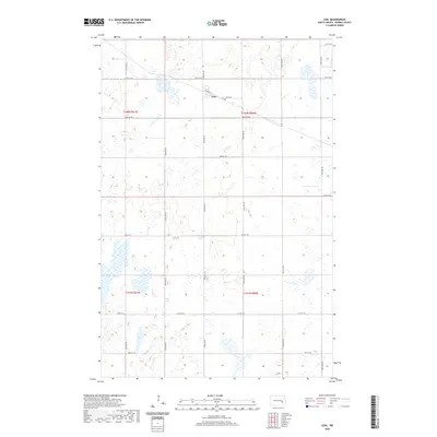
2020 Map of Leal
USGS Topo · Published 2020About this map
Leal is the primary settlement on this Barnes County map, situated in a pocket of North Dakota's glacial prairie. The town's grid is anchored by Railway St, reflecting the rail-centered development typical of the High Plains. Just east of the central cluster of homes, Leal Cem serves as a key landmark for genealogical research. The surrounding landscape is characterized by numerous seasonal wetlands and small basins, including Orner Slough in the northeastern corner. This topography, defined by the transition between T142N and T141N, highlights the agrarian grid system where section roads like 20th St SE and 28th St SE cut through a patchwork of prairie potholes and cultivated fields.
Find a feature on this map
16 named features on this map. Tap any name to fly to it.
Don’t see what you’re looking for? This feature index may not catch every label — zoom into the map to look around manually.
Map Details
Editions of this 2020 Leal Map
This is the sole edition of this map. No revisions or reprints were ever made.
Other maps of this area

1897 · Eckelson
USGS Topo · 1:125,000

1952 · New Rockford
USGS Topo · 1:250,000

1953 · Jamestown
USGS Topo · 1:250,000

1956 · New Rockford
USGS Topo · 1:250,000

1956 · Jamestown
USGS Topo · 1:250,000

1961 · Leal
USGS Topo · 1:24,000

1961 · Wimbledon
USGS Topo · 1:24,000

1961 · Wimbledon NE
USGS Topo · 1:24,000

1961 · Rogers
USGS Topo · 1:24,000

1961 · Dazey
USGS Topo · 1:24,000