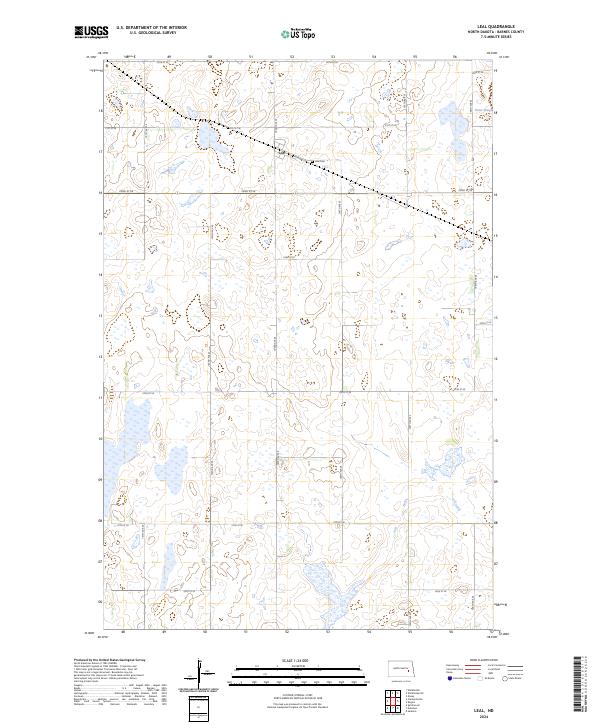
2024 Map of Leal
USGS Topo · Published 2024About this map
The prairie landscape of Barnes County is defined by the small settlement of Leal and its surrounding agricultural grid. This area of North Dakota is characterized by a high density of prairie potholes and wetlands, many of which are protected within the Barnes County Waterfowl Production Area. These seasonal and permanent water bodies, such as Orner Slough, are scattered across the terrain, reflecting the region's importance for migratory birds. The town site itself remains tied to its transit roots, with Railway St serving as a central corridor through the community. Genealogists and local historians can locate the Leal Cem positioned just east of the village center, while the extensive system of section-line roads, including 103rd Ave SE and 22nd St SE, provides a clear view of the traditional township and range land division that has shaped this farming community.
Find a feature on this map
23 named features on this map. Tap any name to fly to it.
Don’t see what you’re looking for? This feature index may not catch every label — zoom into the map to look around manually.
Map Details
Editions of this 2024 Leal Map
This is the sole edition of this map. No revisions or reprints were ever made.
Other maps of this area

1897 · Eckelson
USGS Topo · 1:125,000

1952 · New Rockford
USGS Topo · 1:250,000

1953 · Jamestown
USGS Topo · 1:250,000

1956 · New Rockford
USGS Topo · 1:250,000

1956 · Jamestown
USGS Topo · 1:250,000

1961 · Leal
USGS Topo · 1:24,000

1961 · Wimbledon
USGS Topo · 1:24,000

1961 · Wimbledon NE
USGS Topo · 1:24,000

1961 · Rogers
USGS Topo · 1:24,000

1961 · Dazey
USGS Topo · 1:24,000