Loading...
Loading map...2022 Map of Leary
USGS Topo · Published 2022About this map
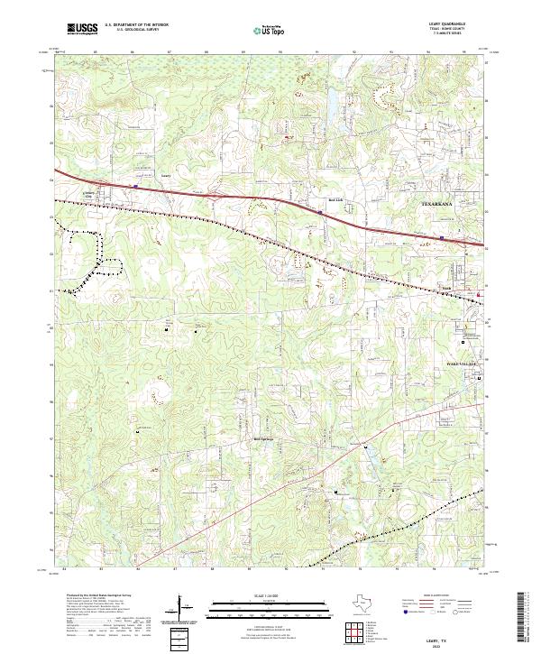
Barkman Cr and Akin Cr define the drainage patterns of this eastern Texas landscape, where suburban expansion meets rural land. The corridor between Leary and the western edge of Texarkana shows a dense network of local roads such as Shiloh Rd and W New Boston Rd, reflecting the modern development of communities like Victory City, Red Lick, and Nash. Small family and community landmarks are scattered throughout the quadrangle, including the Red Springs Cem and Piney Grove Cem.
Find a feature on this map
157 named features on this map. Tap any name to fly to it.
Don’t see what you’re looking for? This feature index may not catch every label — zoom into the map to look around manually.
Map Details
Date Portrayed2022
Date Published2022
PublisherU.S. Geological Survey
Map TypeTopographic
Scale1:24000
Physical Dimensions24 x 29 inches
Editions of this 2022 Leary Map
This is the sole edition of this map. No revisions or reprints were ever made.
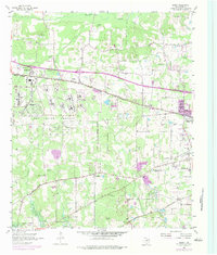
Historical Maps of Victory City Through Time
Featured Locations
Source Details
SourceU.S. Geological Survey
CopyrightPublic Domain