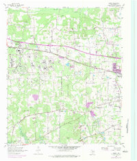
1954 Map of Leary
USGS Topo · Published 1984About this map
Red River Arsenal occupies a significant portion of this landscape west of Nash, reflecting the heavy military footprint in Bowie County during the mid-20th century. The map illustrates a region transitioning from rural agricultural roots to industrial and suburban expansion, particularly visible in the growth around Victory City and Leary. This development is superimposed on an older landscape defined by family-named landmarks and local burial grounds like the Red Springs Cem and Bob Lane Cem.
Find a feature on this map
33 named features on this map. Tap any name to fly to it.
Don’t see what you’re looking for? This feature index may not catch every label — zoom into the map to look around manually.
Map Details
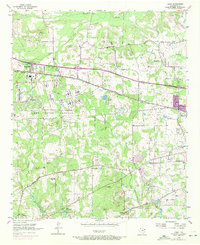
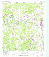
Editions of this 1954 Leary Map
4 editions found

Other maps of this area

1909 · New Boston
USGS Topo · 1:62,500

1909 · Texarkana
USGS Topo · 1:62,500

1950 · Redbank
USGS Topo · 1:24,000

1950 · Ogden
USGS Topo · 1:24,000

1950 · Barkman
USGS Topo · 1:24,000

1951 · Redbank
USGS Topo · 1:24,000

1951 · Ogden
USGS Topo · 1:24,000

1951 · Barkman
USGS Topo · 1:24,000

1953 · Texarkana
USGS Topo · 1:250,000

1954 · Texarkana
USGS Topo · 1:24,000