
1954 Map of Leary
USGS Topo · Published 1955About this map
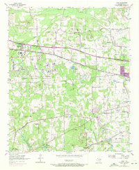
The massive Red River Arsenal dominates the western half of this Bowie County landscape, defined by a distinct Arsenal Boundary that separates military infrastructure from the surrounding rural communities. These civilian areas are characterized by a network of small settlements like Victory City, Leary, and Redlick, which are situated along the Texas and Pacific rail line and various regional pipe lines. To the south, the terrain descends toward the northern reaches of Lake Texarkana, where the Redwater Lookout Tower stands near a concentration of gravel operations.
Find a feature on this map
40 named features on this map. Tap any name to fly to it.
Don’t see what you’re looking for? This feature index may not catch every label — zoom into the map to look around manually.
Map Details
Editions of this 1954 Leary Map
4 editions found
Other maps of this area

1909 · New Boston
USGS Topo · 1:62,500

1909 · Texarkana
USGS Topo · 1:62,500

1950 · Redbank
USGS Topo · 1:24,000

1950 · Ogden
USGS Topo · 1:24,000

1950 · Barkman
USGS Topo · 1:24,000

1951 · Redbank
USGS Topo · 1:24,000

1951 · Ogden
USGS Topo · 1:24,000

1951 · Barkman
USGS Topo · 1:24,000

1953 · Texarkana
USGS Topo · 1:250,000

1954 · Texarkana
USGS Topo · 1:24,000