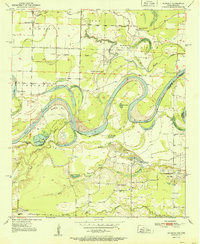
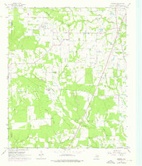
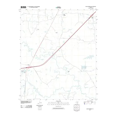
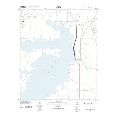
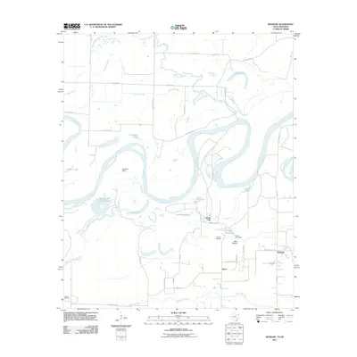
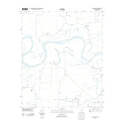
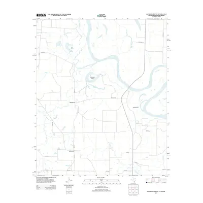
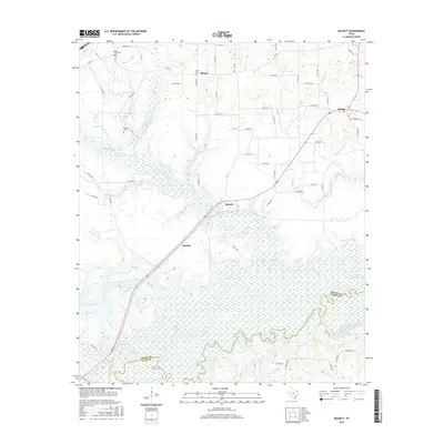
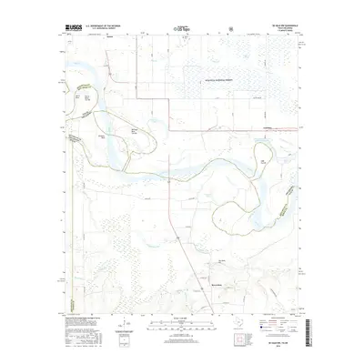
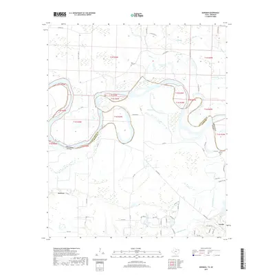
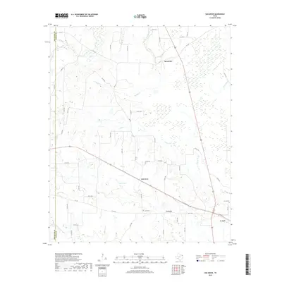
1951 Map of Redbank
USGS Topo · Published 1951About this map
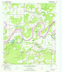
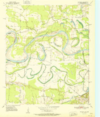
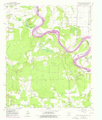
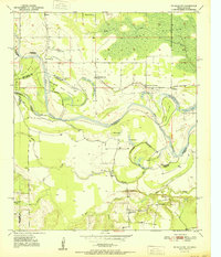
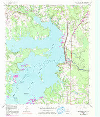
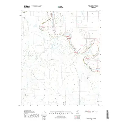
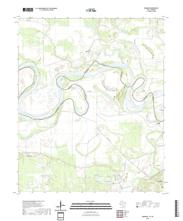
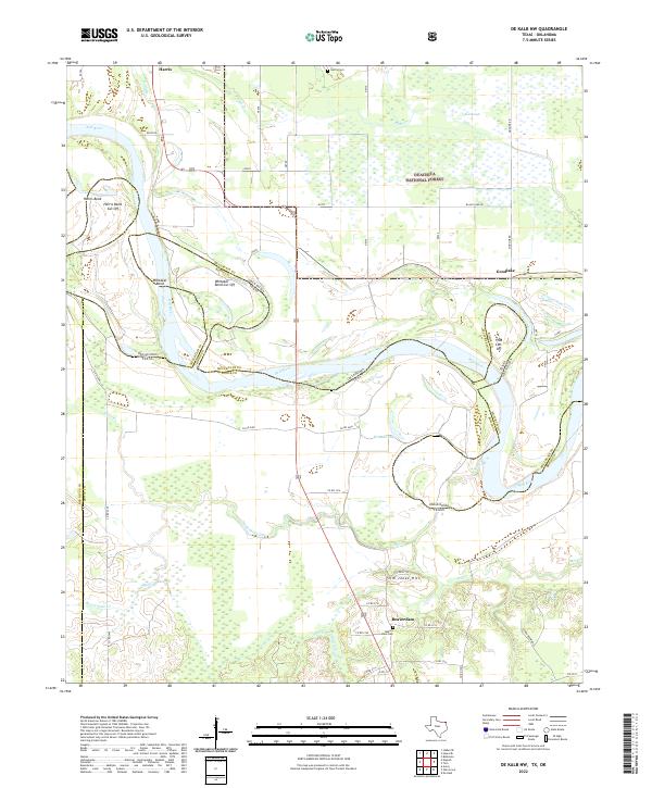
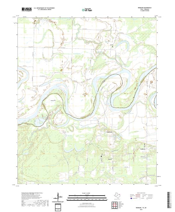
The Red River meanders sharply across this 1951 boundary region, carving a complex network of oxbows and sloughs between Texas and Arkansas. This hydrological landscape is defined by the shifting course of the river, leaving behind landforms like Hudson Bow and Ector Lake. These water features serve as more than just drainage; they mark the historic and often contested state line between Little River and Bowie Counties. The surrounding bottomlands are heavily concentrated with community landmarks, particularly country churches such as Elizabeth Academy Ch and New Dora Ch.
Find a feature on this map
39 named features on this map. Tap any name to fly to it.
Don’t see what you’re looking for? This feature index may not catch every label — zoom into the map to look around manually.
Map Details
Editions of this 1951 Redbank Map
This is the sole edition of this map. No revisions or reprints were ever made.
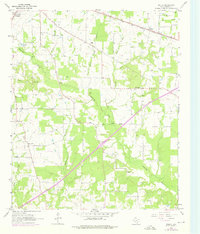
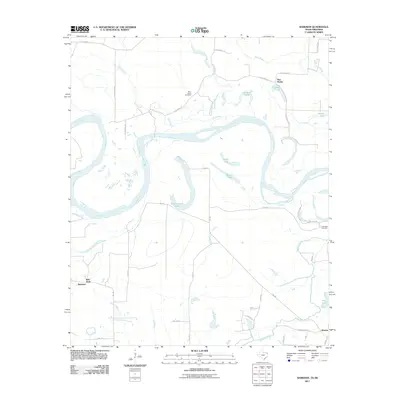
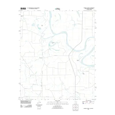
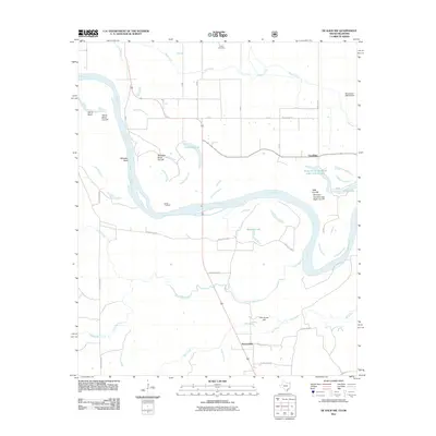
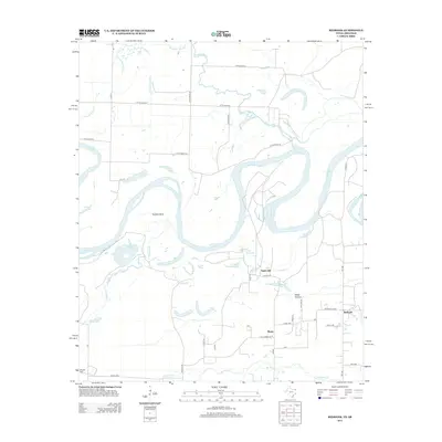
Historical Maps of Redbank Through Time
71 maps found
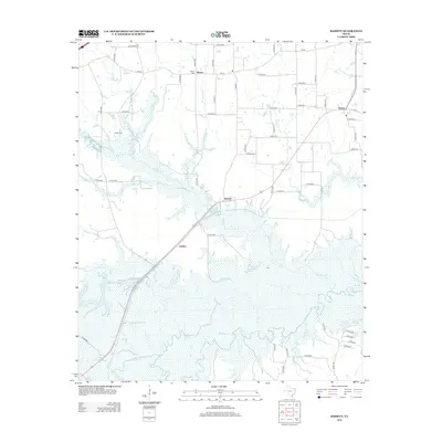
1930 Bassett
Bowie County, TX
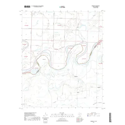
1950 Barkman
Bowie County, TX
1950 De Kalb NW
Bowie County, TX

1950 Oak Grove
Bowie County, TX
1950 Redbank
Bowie County, TX
1951 Barkman
Bowie County, TX
1951 Daniels Chapel
Bowie County, TX
1951 De Kalb NW
Bowie County, TX

1951 Oak Grove
Bowie County, TX
1951 Redbank
Bowie County, TX
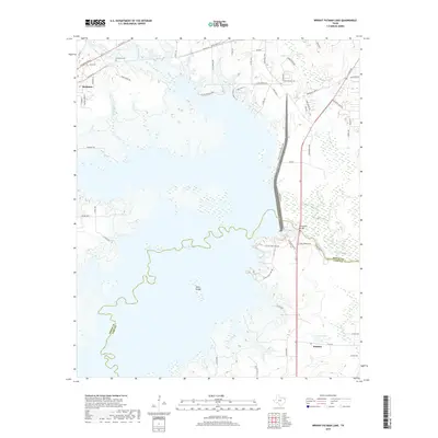
1954 Wright Patman Lake
Bowie County, TX
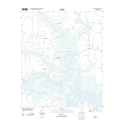
1955 Corley
Bowie County, TX
1965 Bassett
Bowie County, TX
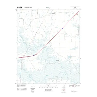
1965 Dalby Springs
Bowie County, TX
1965 Hodgson
Bowie County, TX
1965 Malta
Bowie County, TX
2010 Bassett
Bowie County, TX
2010 Corley
Bowie County, TX
2010 Dalby Springs
Bowie County, TX
2010 Hodgson
Bowie County, TX
2010 Malta
Bowie County, TX
2010 Oak Grove
Bowie County, TX
2010 Wright Patman Lake
Bowie County, TX
2011 Barkman
Bowie County, TX
2011 Daniels Chapel
Bowie County, TX
2011 De Kalb NW
Bowie County, TX
2011 Redbank
Bowie County, TX
2012 Hodgson
Bowie County, TX
2012 Malta
Bowie County, TX
2012 Oak Grove
Bowie County, TX
2013 Barkman
Bowie County, TX
2013 Bassett
Bowie County, TX
2013 Corley
Bowie County, TX
2013 Dalby Springs
Bowie County, TX
2013 Daniels Chapel
Bowie County, TX

2013 De Kalb NW
Bowie County, TX
2013 Redbank
Bowie County, TX
2013 Wright Patman Lake
Bowie County, TX
2016 Barkman
Bowie County, TX
2016 Bassett
Bowie County, TX
2016 Corley
Bowie County, TX
2016 Dalby Springs
Bowie County, TX
2016 Daniels Chapel
Bowie County, TX
2016 De Kalb NW
Bowie County, TX
2016 Hodgson
Bowie County, TX

2016 Malta
Bowie County, TX

2016 Oak Grove
Bowie County, TX
2016 Redbank
Bowie County, TX
2016 Wright Patman Lake
Bowie County, TX
2019 Barkman
Bowie County, TX
2019 Bassett
Bowie County, TX
2019 Corley
Bowie County, TX
2019 Dalby Springs
Bowie County, TX
2019 Daniels Chapel
Bowie County, TX
2019 De Kalb NW
Bowie County, TX
2019 Hodgson
Bowie County, TX
2019 Malta
Bowie County, TX
2019 Oak Grove
Bowie County, TX
2019 Redbank
Bowie County, TX
2019 Wright Patman Lake
Bowie County, TX
2022 Barkman
Bowie County, TX
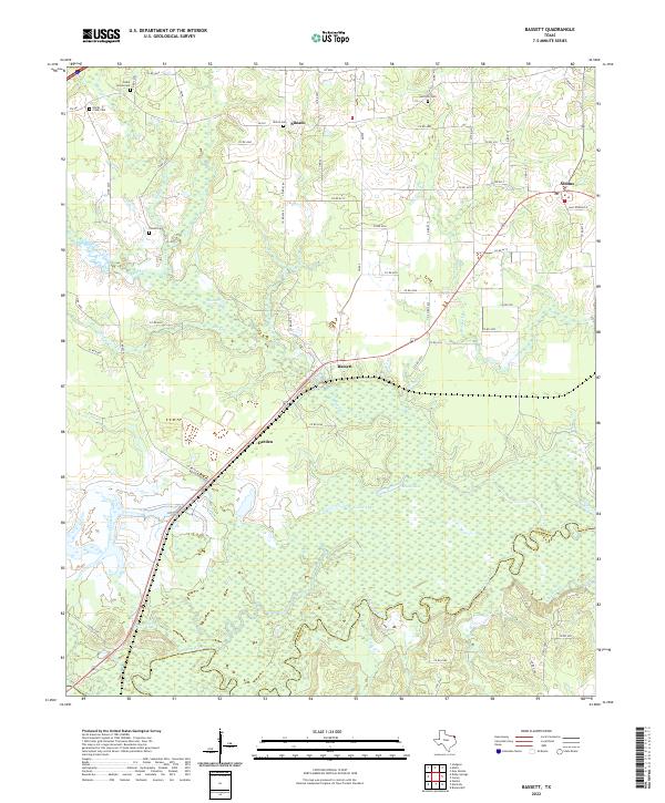
2022 Bassett
Bowie County, TX
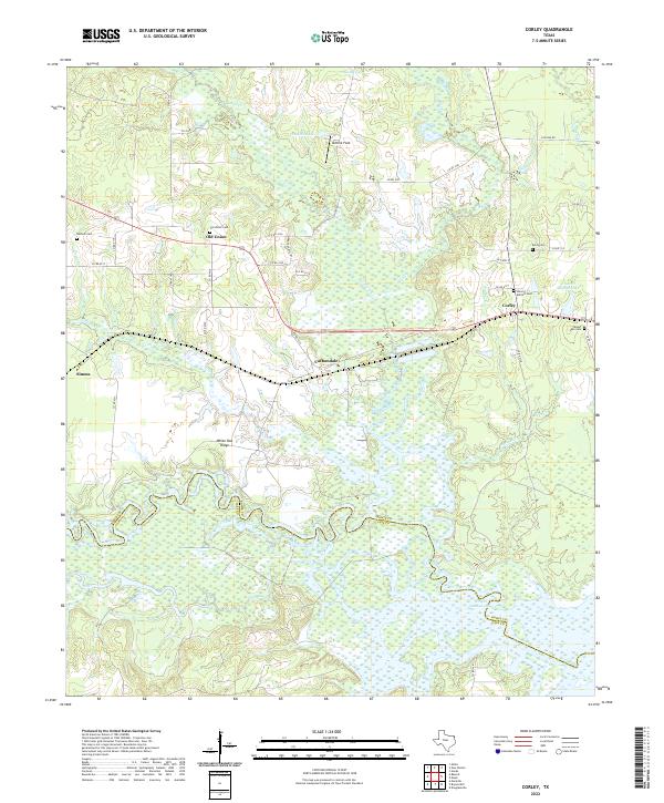
2022 Corley
Bowie County, TX
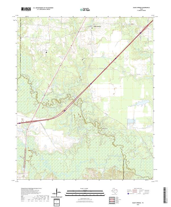
2022 Dalby Springs
Bowie County, TX
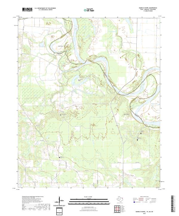
2022 Daniels Chapel
Bowie County, TX
2022 De Kalb NW
Bowie County, TX
2022 Hodgson
Bowie County, TX
2022 Malta
Bowie County, TX
2022 Oak Grove
Bowie County, TX
2022 Redbank
Bowie County, TX
2022 Wright Patman Lake
Bowie County, TX