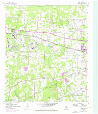
1954 Map of Leary
USGS Topo · Published 1976About this map
The Red River Arsenal dominates the western half of this Bowie County landscape, defined by its extensive network of structures and the prominent Arsenal Boundary. This mid-century survey captures a region in transition, where established rural communities like Leary and Redlick sit alongside the industrial and military infrastructure required by the era. The presence of numerous inactive gravel pits and a Strip Mine along the St Louis Southwestern railroad indicates the local importance of resource extraction.
Find a feature on this map
41 named features on this map. Tap any name to fly to it.
Don’t see what you’re looking for? This feature index may not catch every label — zoom into the map to look around manually.
Map Details
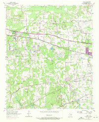
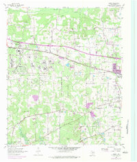
Editions of this 1954 Leary Map
4 editions found

Other maps of this area

1909 · New Boston
USGS Topo · 1:62,500

1909 · Texarkana
USGS Topo · 1:62,500

1950 · Redbank
USGS Topo · 1:24,000

1950 · Ogden
USGS Topo · 1:24,000

1950 · Barkman
USGS Topo · 1:24,000

1951 · Redbank
USGS Topo · 1:24,000

1951 · Ogden
USGS Topo · 1:24,000

1951 · Barkman
USGS Topo · 1:24,000

1953 · Texarkana
USGS Topo · 1:250,000

1954 · Texarkana
USGS Topo · 1:24,000