
1950 Map of Ogden
USGS Topo · Published 1966About this map
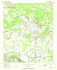
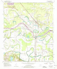
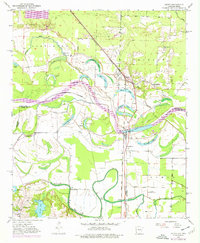
McKinney Bayou and the winding Red River define this corner of Southwest Arkansas at the turn of the 1950s. The landscape is a complex network of oxbows and river-fed basins, including Fish Lake, Brushy Lake, and Winham Lake, illustrating the shifting nature of the river boundary between Little River and Bowie Counties. The town of Ogden serves as a hub along the Kansas City Southern railroad, surrounded by a rural social fabric evidenced by numerous local landmarks. Educational and religious life is well-documented through sites such as the Washington Sch, Rosenwald Sch, and New Zion Ch. Near the southern edge, the Texarkana Radio Range Station stands as a notable mid-century navigational landmark, while the small settlement of Wamba sits near the edge of Waterworks Lake.
Find a feature on this map
38 named features on this map. Tap any name to fly to it.
Don’t see what you’re looking for? This feature index may not catch every label — zoom into the map to look around manually.
Map Details
Editions of this 1950 Ogden Map
4 editions found
Other maps of this area

1909 · Texarkana
USGS Topo · 1:62,500

1950 · Ashdown East
USGS Topo · 1:24,000

1950 · Ashdown West
USGS Topo · 1:24,000

1950 · Red Bluff
USGS Topo · 1:24,000

1950 · Barkman
USGS Topo · 1:24,000

1951 · Ashdown West
USGS Topo · 1:24,000

1951 · Ogden
USGS Topo · 1:24,000

1951 · Red Bluff
USGS Topo · 1:24,000

1951 · Ashdown East
USGS Topo · 1:24,000

1951 · Barkman
USGS Topo · 1:24,000