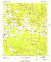
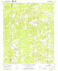
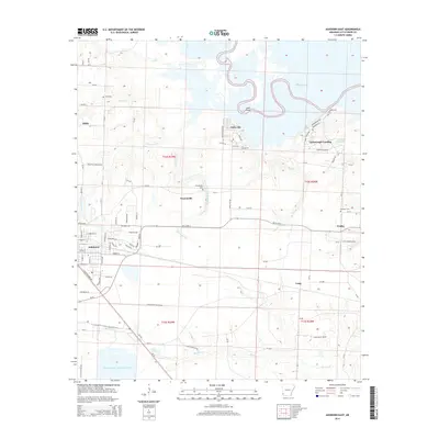
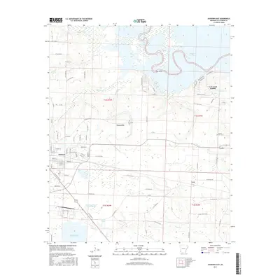
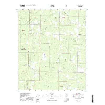
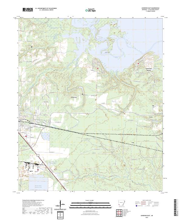
1950 Map of Ashdown East
USGS Topo · Published 1956About this map
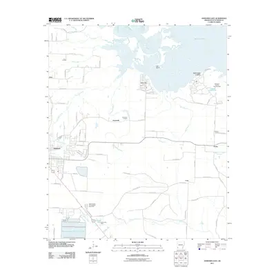
The Little River defines the northern reaches of this territory, where it winds through a complex system of oxbows and backwaters including Horseshoe Lake, Mud Lake, and Bee Lake. This aquatic landscape, characterized by Jack Island and several sloughs, transitions into the agricultural and rail-oriented terrain of Little River County. The town of Ashdown serves as a critical junction for the Kansas City Southern and St Louis San Francisco railroads, reflecting a mid-century economy built on transportation and timber.
Find a feature on this map
32 named features on this map. Tap any name to fly to it.
Don’t see what you’re looking for? This feature index may not catch every label — zoom into the map to look around manually.
Map Details
Editions of this 1950 Ashdown East Map
2 editions found
Historical Maps of Ashdown Through Time
26 maps found
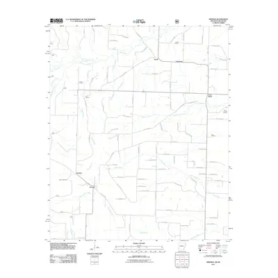
1950 Ashdown East
Little River County, AR
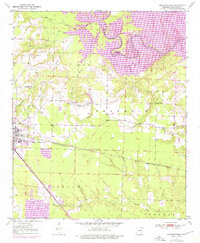
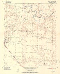
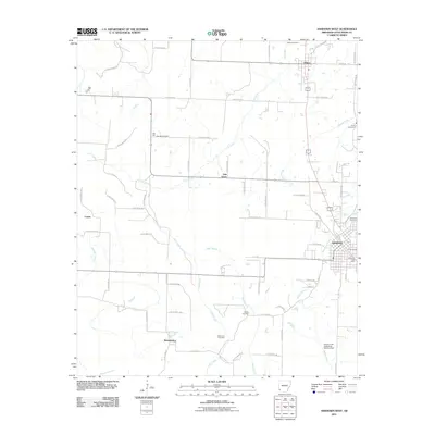
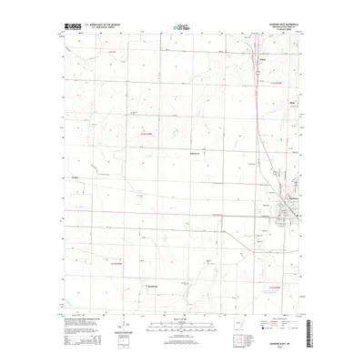
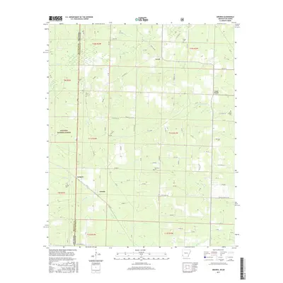
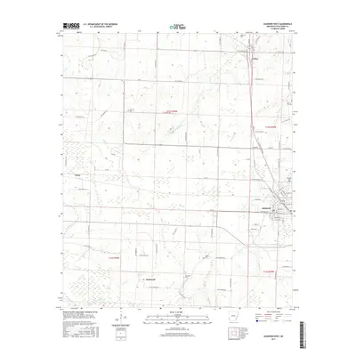
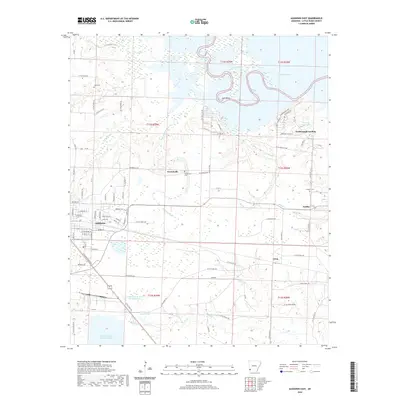
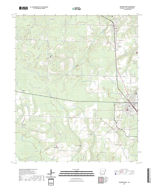
1950 Ashdown West
Little River County, AR
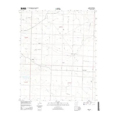
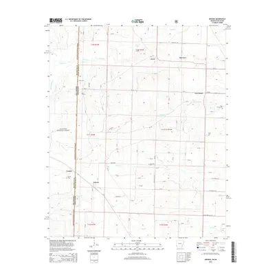
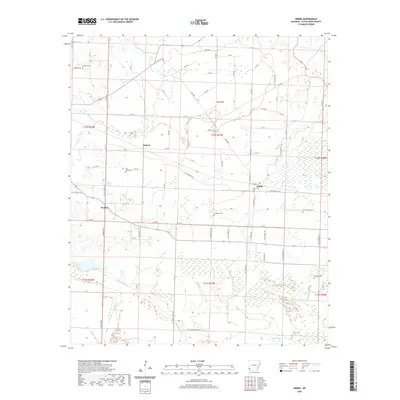
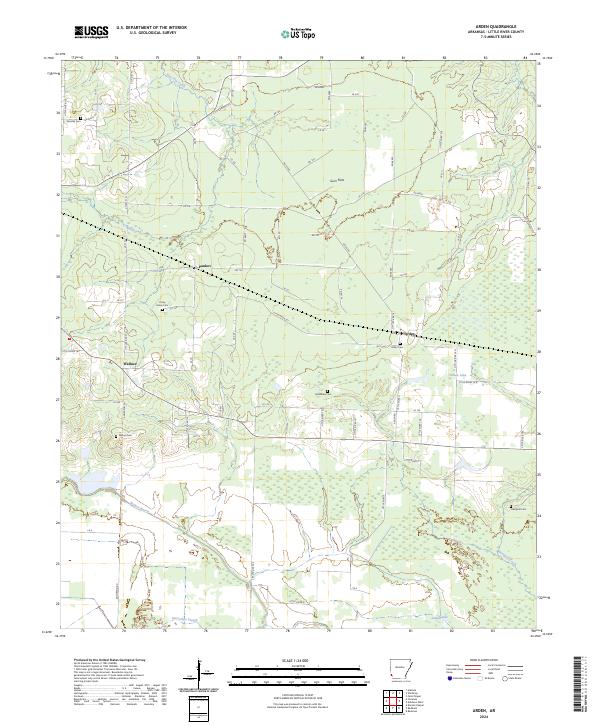
1951 Arden
Little River County, AR
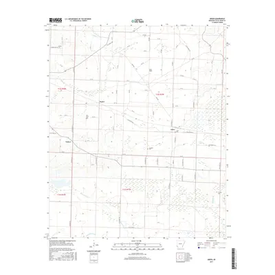
1951 Arkinda
Little River County, AR
1951 Ashdown East
Little River County, AR
1951 Ashdown West
Little River County, AR
2011 Arden
Little River County, AR
2011 Arkinda
Little River County, AR
2011 Ashdown East
Little River County, AR
2011 Ashdown West
Little River County, AR
2014 Arden
Little River County, AR
2014 Arkinda
Little River County, AR
2014 Ashdown East
Little River County, AR
2014 Ashdown West
Little River County, AR
2017 Arden
Little River County, AR
2017 Arkinda
Little River County, AR
2017 Ashdown East
Little River County, AR
2017 Ashdown West
Little River County, AR
2020 Arden
Little River County, AR
2020 Arkinda
Little River County, AR
2020 Ashdown East
Little River County, AR
2020 Ashdown West
Little River County, AR
2024 Arden
Little River County, AR

2024 Arkinda
Little River County, AR
2024 Ashdown East
Little River County, AR
2024 Ashdown West
Little River County, AR