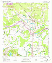
1950 Map of Ogden
USGS Topo · Published 1976About this map
The Red River dominates this mid-century landscape along the Arkansas-Texas border, where a complex network of oxbows and remnant lakes defines the river's shifting course. The settlement of Ogden serves as a local hub along the Kansas City Southern railroad, surrounded by numerous small schools and churches that speak to the area's rural social structure. Notable institutions like the Washington Sch and Rosenwald Sch are documented alongside local landmarks such as the Texarkana Radio Range Station. South of the river, McKinney Bayou meanders through the lowlands, which are protected by an extensive Levee system. This 1950s survey, with later 1970s revisions, illustrates the agricultural development and flood control infrastructure of Little River County and neighboring Miller County during a period of transition in the American South.
Find a feature on this map
44 named features on this map. Tap any name to fly to it.
Don’t see what you’re looking for? This feature index may not catch every label — zoom into the map to look around manually.
Map Details
Editions of this 1950 Ogden Map
4 editions found
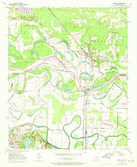
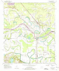
Other maps of this area

1909 · Texarkana
USGS Topo · 1:62,500

1950 · Ashdown East
USGS Topo · 1:24,000

1950 · Ashdown West
USGS Topo · 1:24,000

1950 · Ogden
USGS Topo · 1:24,000

1950 · Red Bluff
USGS Topo · 1:24,000

1950 · Barkman
USGS Topo · 1:24,000

1951 · Ashdown West
USGS Topo · 1:24,000

1951 · Ogden
USGS Topo · 1:24,000

1951 · Red Bluff
USGS Topo · 1:24,000

1951 · Ashdown East
USGS Topo · 1:24,000