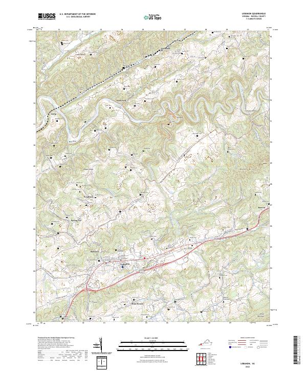
2022 Map of Lebanon
USGS Topo · Published 2022About this map
The Russell County Courthouse serves as the focal point for Lebanon, where the landscape transitions from the developed corridors of Slabtown to the high ridges of Clinch Mountain. This 2022 survey captures the intricate topography of the Ridge-and-Valley province, defined by the winding course of the Clinch River and the parallel heights of Copper Ridge. The distribution of family-named burial sites, such as the Old Combs Cem and Breeding Cem, underscores the deep genealogical roots of the rural communities in Combs Valley and Glade Hollow. In addition to the primary settlement at Lebanon, the map reveals several distinct hamlets including Pondtown, Spring City, and the curiously named Stone Bruise. To the north, the Pinnacle stands as a prominent landmark overlooking the river valley, while the North Church Street Cem provides a historical anchor within the town limits.
Find a feature on this map
163 named features on this map. Tap any name to fly to it.
Don’t see what you’re looking for? This feature index may not catch every label — zoom into the map to look around manually.
Map Details
Editions of this 2022 Lebanon Map
This is the sole edition of this map. No revisions or reprints were ever made.
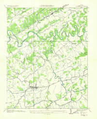
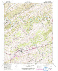
Historical Maps of Barnett Through Time
3 maps found